Get Full Government Meeting Transcripts, Videos, & Alerts Forever!
Get email alerts on the Rezoning Pud topic
No spam. Unsubscribe anytime.
Collegedale planning panel recommends rezoning 32-acre Lee Highway parcel for 102-home subdivision amid residents’ concerns
Summary
The Collegedale Planning Commission voted to recommend rezoning a 32-acre parcel at 10419 Lee Highway to R1H with a PUD overlay to permit a 102-lot single-family subdivision, after extended public comment about annexation timing, stormwater, tree loss, traffic and a prior court-ordered temporary restraining order left part of the parcel unzoned.
The Collegedale Planning Commission voted to recommend rezoning a 32-acre parcel at 10419 Lee Highway to high-density single-family (R1H) with a planned unit development (PUD) overlay to allow a 102-lot subdivision and community amenities.
City staff explained the parcel consists of roughly 32 acres: about 7 acres along Lee Highway currently carry a Shopping Center Commercial (C2) designation, while roughly 25 acres lack a formal municipal zoning classification following a February 2024 annexation. Staff said the lack of zoning after annexation left the property technically unregulated for land use until the city and the owner resolved zoning by ordinance.
Jason Allen, staff planner, summarized legal and procedural history: the property was annexed into the city on Feb. 5, 2024 by resolution referenced in the staff file, but zoning ordinances later submitted were denied, leaving a portion of the parcel without a city zoning district. Allen said the city had attempted to assign Agriculture (AG) zoning to the unclassified portion on March 14, 2024, but the applicant obtained a temporary restraining order (TRO) on April 8, 2024 that blocked that action while legal proceedings proceeded. While the TRO was in place, the applicant received technical approvals (site and civil) for work that does not require zoning approval, the staff report said.
Dash LLC returned with a scaled-down proposal from earlier concepts: the current application asks for an R1H PUD overlay to permit 102 single-family lots with one community lot and amenities. Staff recommended approval, saying the R1H/PUD approach would provide regulatory oversight and design standards missing from an unzoned property and that it is compatible with nearby single-family neighborhoods.
Mike Price, project engineer with MAP Engineers, said the 102-lot plan is a refinement intended to produce larger lots and more open space than earlier proposals. Price requested several condition changes he said would improve the project’s balance with neighbors: increase required community/open space from 20% to 25%, require fountains in each retention pond, permit completion of amenities after 25% of certificates of occupancy (rather than all amenities before COs), and reword tree-preservation language so existing trees are retained where practical as determined by the design engineer and staff review. He also proposed increasing the peripheral building setback to 40 feet to pull houses away from the buffer.
Residents and property owners voiced strong opposition and a range of concerns across several hearings. Speakers from White Oak Valley Circle and neighboring streets pressed the commission on traffic on Lee Highway, increased runoff and flooding along Little Woofteeaver (as named by speakers), tree loss and wildlife impacts, and the risk that treating the site as unzoned allowed the owner to proceed with plans that may be less compatible with neighborhood character. Several residents urged postponement for an environmental assessment and for additional neighborhood meetings with the developer.
Stormwater and flood risk were recurring themes. One resident pointed to earlier work near the honors course where Little Woofteeaver culverts and roadside erosion required repair, and asked whether the city or the developer had baseline runoff data; staff responded that standard design submissions—SCS TR-55 runoff modeling, TDEC erosion control permits and Hamilton County water-quality reviews—are required to demonstrate post-development discharge rates do not increase and that detailed water-quality plans will be reviewed with civil submissions.
Planning commissioners asked multiple technical and policy questions: how prior proposals (208 units in a condo/townhome form or 111-unit variants) differ from the current 102-lot plan, whether landscaping and setback details are enforceable through PUD conditions, and how the city could prevent a recurrence of the annexation/zoning timing gap. Staff said the planning commission’s recommendation will proceed to city commission as ordinances 11-58 (rezoning) and 11-59 (PUD overlay) and that first reading is expected May 5 with a second reading approximately June 2; required infrastructure and sewer extension work must be installed by the developer at its expense.
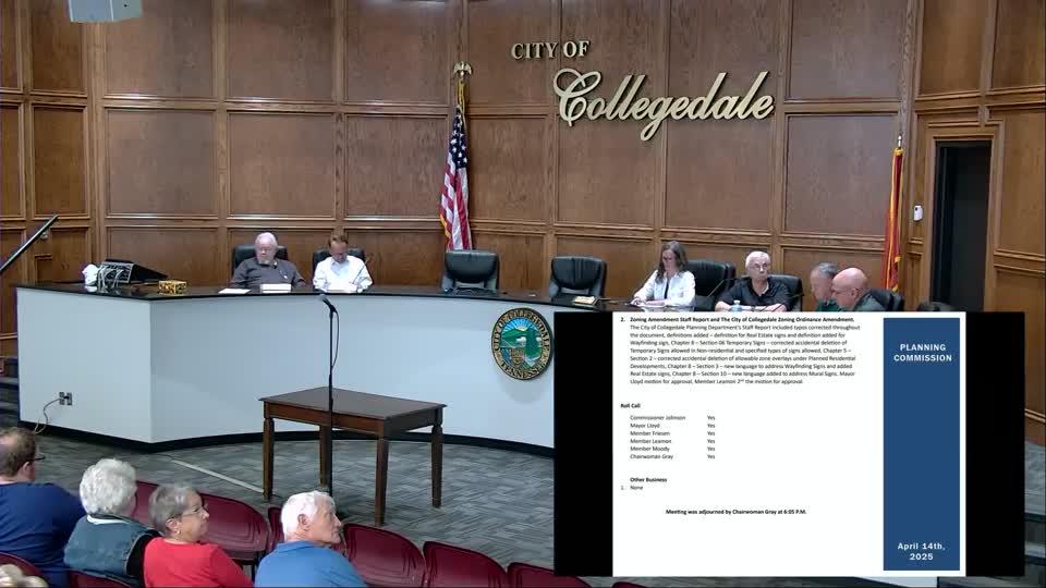
On a roll-call vote, the commission recommended approval with the proposed and amended conditions (Commissioner Johnson: no; Mayor Lloyd: yes; Member Friesen: yes; Member Moody: yes; Member Lehman: yes; Chairwoman Gray: no). The recommendation now moves to the City Commission for ordinance readings and final action.