Get Full Government Meeting Transcripts, Videos, & Alerts Forever!
Get email alerts on the Groundwater Monitoring topic
No spam. Unsubscribe anytime.
Elbert County reviews USGS groundwater monitoring update, seeks plan to restore lost wells
Summary
USGS presented a decade of groundwater monitoring in Elbert County, showing generally declining water levels in Denver Basin aquifers and recommending options — including more monitoring, targeted studies and modeling — as county officials pushed for a plan to restore wells lost from the network and to use the findings in planning.
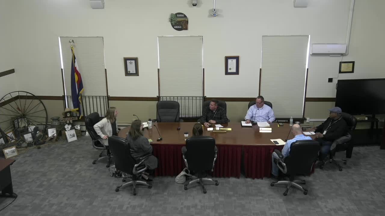
Elbert County commissioners met with representatives of the U.S. Geological Survey on April 2 to review a decade of groundwater monitoring in the Denver Basin aquifers beneath the county and to discuss next steps for restoring and improving the county’s monitoring network.
USGS scientists said the agency has maintained a monitoring network in the county since 2015 and will publish a scientific investigation report (SIR) covering water-level records through the end of 2023. Kelly Palko, hydrologist with the USGS Colorado Water Science Center, said the data are public and described how measurements are collected and shared. “After each site visit, these data are uploaded to our website, the National Water Information System, we call it NWIS,” Palko said.
The county’s commissioners said the information will help them evaluate development proposals and update the county comprehensive plan. Byron McDaniel, chairman and commissioner for District 3, told USGS staff the board is especially concerned about growth in the northwest and north-central parts of Elbert County and wants a clear, implementable plan for replacing wells lost from the network.
Why it matters: Elbert County’s domestic and municipal water planning depends largely on groundwater from the Denver Basin. County leaders said they need timely, interpretable data to judge whether local supplies can support additional development and to set possible policy limits.
What USGS presented and what it shows USGS staff summarized monitoring across the five Denver Basin bedrock units present beneath the county — Upper Dawson, Lower Dawson, Denver, Arapahoe and Laramie Fox Hills — and the agency’s sampling methods. The network originally numbered roughly 40 wells; USGS staff reported current coverage of about 31 wells across the aquifers, with continuous pressure-transducer records at two Upper Dawson sites and a mix of discrete (field tape) and continuous measurements elsewhere. The draft SIR compares trend results from the earlier report to the new 2015–2023 record.
USGS scientists told the commissioners most water-level trends are downward across the county, with the largest magnitudes located near Highway 86 and along the Douglas County border. The presentation included maps and tables showing per-well trends and a “departure from the median groundwater” analysis to show how individual wells vary from long-term median levels. USGS staff emphasized that statistical significance in the report denotes a trend that meets the agency’s defined testing threshold rather than an engineering or policy threshold for action.
County questions and USGS responses Commissioners asked whether the current network is adequate and how to replace or re‑site wells that were lost from earlier monitoring. USGS staff said network adequacy depends on the county’s objectives: long-term trend detection benefits from sustained, well‑maintained sites, while different scientific questions (for example, estimates of aquifer storage or groundwater age) may require targeted methods beyond water‑level monitoring. Megan Bell, chief of the Lakewood Hydrologic Investigations Studies Unit, reiterated that USGS provides the scientific data and interpretive analyses but does not prescribe management actions.
On timing and access to the report, USGS said the SIR is in editorial and final review and is expected to appear on the USGS website within months; the agency offered to provide a limited courtesy draft to county staff before public release. Commissioners requested the numerical trend tables and other deliverables; USGS staff confirmed that the underlying data are available in NWIS.
Options discussed and next steps USGS described additional analytical approaches the county could consider, including updating or focusing the Denver Basin groundwater model used in prior regional work, groundwater‑age tracing to estimate how long water resides in parts of the system, and targeted studies to estimate aquifer storage in volumetric terms. Commissioners and staff discussed jointly reviewing the monitoring network to identify where lost wells had been removed and whether replacement or relocation is warranted.
County officials said they lack in‑house hydrogeologic staff to interpret the data and suggested assembling an advisory group or contracting for interpretation to translate the USGS findings into county planning thresholds and actionable guidance. USGS staff said they can help scope studies and point to regional data and partners, but final management decisions would rest with the county or consultants the county hires.
No formal votes or regulatory actions were taken during the session. The parties agreed to exchange a list of county questions about the statement of work and to plan a follow‑up meeting after staff review of the report materials and the county’s monitoring priorities.
Ending: county priorities and timing Commissioners emphasized the urgency of incorporating reliable groundwater information into the county’s comprehensive plan and development reviews. McDaniel said the board wants options to bring the county’s monitoring coverage back up and to develop criteria for when county staff should seek further action if wells show abrupt changes. USGS staff reiterated willingness to meet again, provide guidance on available methods, and furnish data and a courtesy draft of the impending SIR.