Get Full Government Meeting Transcripts, Videos, & Alerts Forever!
Get email alerts on the Road Inventory Street Smart topic
No spam. Unsubscribe anytime.
Skagit County public works demonstrates Cyclomedia ‘Street Smart’ for road inventory and pre‑engineering
Summary
Public Works staff demonstrated Street Smart, a Cyclomedia photogeometry and LiDAR platform, describing uses for inventorying signage, measuring assets, pre‑engineering and linking data to the CRAB 'Gizmo' asset management system.
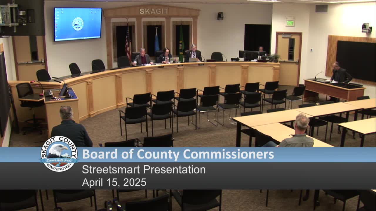
Skagit County Public Works staff demonstrated Street Smart, a Cyclomedia platform that combines 360‑degree imagery and LiDAR to create a detailed photographic and point‑cloud record of county roads, during the April 15 meeting of the Skagit County Board of Commissioners.
Acting county engineer Tom Roberts introduced the program and handed the presentation to Given Coutts of the county’s traffic engineering section. Coutts said the county contracted with Cyclomedia in late 2020 and completed runs through 2021 and 2023, covering the county’s 800 centerline miles under county jurisdiction. He described the platform’s capabilities — 360‑degree imagery collected roughly every 15 feet, synchronized LiDAR point clouds that enable distance and height measurements, and overlays that let staff measure lane widths, shoulder widths, patch areas and estimated material quantities from a desktop.
Coutts noted departments across county government use the data: public works engineering, planning, the assessor’s office, code enforcement, DEM and risk management. He demonstrated examples including: visual comparisons between 2020 and 2023 imagery for the same location; an elevation overlay used to view hypothetical inundation and identify low spots for catch basin placement; and point clouds that can be exported into AutoCAD and Civil3D to begin pre‑engineering work. He said Cyclomedia accuracy in urban areas is on the order of centimeters and that the data has been imported as a layer into the County Road Administration Board (CRAB) 'Gizmo' Viewworks environment so street signs, guardrails and other assets appear in the county’s asset database.
Commissioners and staff asked operational questions during the demonstration. Coutts clarified that Street Smart captures above‑road assets only (buried utilities and culverts are not visible) and that field visits continue to be required for final verification. He described training availability for staff and said about 43 public works employees, 24 planning staff and 14 assessor staff currently have access. County surveyor Jason McCauley was identified as the staff member most familiar with the point‑cloud export workflow used for engineering.
Public officials on the dais praised the platform’s time, safety and cost savings. Commissioner Browning and Commissioner Wiesen both thanked staff for the demonstration and noted the program’s potential for reducing unnecessary field visits and improving inventory accuracy. Roberts and Coutts said they plan to propose budget adjustments in 2026 to fund a rerun on a 3–5 year cycle and to pursue cooperative runs with neighboring jurisdictions to reach pricing thresholds that reduce per‑mile cost.