Get Full Government Meeting Transcripts, Videos, & Alerts Forever!
Get email alerts on the Future Land Use Map topic
No spam. Unsubscribe anytime.
Future Land Use Map advisory committee presents streamlined map, new overlay districts to Kuna council
Summary
The Future Land Use Map advisory committee recommended a simplified land-use structure (urban, suburban, rural) and five overlay districts to guide Kuna's next comprehensive-plan update, emphasizing clearer zoning transitions and targeted growth corridors.
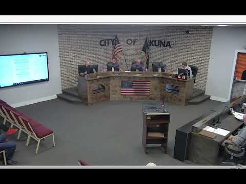
The Future Land Use Map advisory committee presented a revised map to the Kuna City Council that replaces several ambiguous land-use categories with a clearer structure and adds five overlay districts to guide future growth.
Kristen Sandhu, chair of the advisory committee, said the panel worked over the past year to “reimagine a future land use map that doesn't just reflect where we are, but where we're going,” and described the committee’s process of engaging regional experts and reviewing infrastructure and market data. “We grounded our work in expert insight,” she said, noting presentations from Compass on regional planning, ACHD on transportation, public works on utilities, Boise Valley Economic Partnership on workforce and economic opportunity, and developers to illustrate code translation on the ground.
The committee proposed simplifying residential designations — replacing high-, medium- and low-density labels with “urban,” “suburban,” and “rural” — and eliminating a generic mixed-use label in favor of context-specific commercial or residential designations. Sandhu described five overlay districts: Meridian Road Corridor (regional commercial hub, up to 20 units/acre), 10-Mile Grove corridor (neighborhood mixed-use, up to 12 units/acre), downtown (neighborhood commercial with downtown design standards), Railroad District (commercial/light industrial flex space), and McDermott overlay (reserved for future commercial aligned with regional planning).
Council discussion included procedural clarifications: the committee was established by resolution 23-20-24 and approved its proposed map on April 12, 2025; Doug Hansen, planning and zoning director, said this committee’s work will inform the comprehensive-plan update beginning next fiscal year. Council did not take formal action on the presentation; staff labelled the item a discussion item and said the map and exhibits will be used in the comprehensive plan update.