Get Full Government Meeting Transcripts, Videos, & Alerts Forever!
Get email alerts on the Land Use topic
No spam. Unsubscribe anytime.
Developers present 132‑lot concept for Hilltop Grove; commissioners and neighbors press for fewer, larger lots and traffic safeguards
Summary
Viridian Homes presented a concept for a 132‑lot planned residential development on 72 acres north of Mill Road and west of Lannon Road, prompting commissioners and nearby residents to press for fewer, larger lots, further wetland delineation and a traffic study for the Lannon–Mill intersection.
Viridian Homes representatives presented a conceptual plan on April 8 for a 132‑lot single‑family subdivision on about 72 acres north of Mill Road and west of Lannon Road (County Trunk Highway Y). The developer described the proposal as a planned residential development with about 29% open space (roughly 21 acres), a net density of roughly two units per acre and an average lot size “just over 12,000 square feet.”
Planner Amy Bennett told the commission the parcels are currently zoned A‑1 (agricultural) and that the applicant plans to request rezoning to a planned residential development. Ben Lang of Viridian Homes said the presentation was a concept review and that the team was “just looking for feedback” as they complete due diligence, including wetland surveys and geotechnical borings. Brian Munson of Vandewall Associates said the design responds to existing topography, wetlands and woodland, and preserves about nine acres of woodland buffer at the site’s north edge.
Why it matters: commissioners and many nearby residents said the plan’s density, lot dimensions and proposed access raise safety and character questions. Commissioner Paul Curtis protested that “these lots are too small for this area,” and multiple speakers urged the developer to reduce unit counts and cluster homes to preserve more open space and reduce traffic impacts at the Lannon–Mill intersection.
Key details offered by the applicant: the concept shows lot‑type variety (labels in the plan included “Super Estate” at 95 feet of width down to “Terrace” at roughly 74 feet), an estimated six acres of wetlands and roughly four acres of right‑of‑way, leaving about 66 acres of developable land. The team said it would set aside additional outlot open space, preserve a woodland buffer on the property’s north side and explore a trailhead at the Mill–Lannon corner to tie into planned bike/ped connections.
Discussion highlights: much of the meeting focused on three recurring concerns: - Safety and traffic: commissioners and residents said sight lines at Lannon and Mill are limited and that additional traffic studies and county review are essential before approval. Multiple commenters asked that the applicant and county evaluate turn lanes, sight distances and emergency vehicle access; the applicant said a traffic study will be part of engineering review and that County Trunk Highway Y standards apply to the Lannon Road entrance. - Lot size and neighborhood character: several commissioners and residents pushed for fewer, larger lots (examples cited ranged from one‑third to one‑half‑acre lots) to match the village’s existing edge neighborhoods. Others warned that substantially larger lots would push home prices higher and reduce affordability. Brian Munson said the concept intentionally mixes lot sizes to create variety and price‑point diversity within the neighborhood. - Wetlands, grading and stormwater: the developer said initial wetland work has been done but that formal wetland delineation is forthcoming and will follow DNR standards. The applicant said the intent is to route stormwater southward, not down the slope toward neighboring properties, and to “improve the stormwater condition” compared with current field runoff.
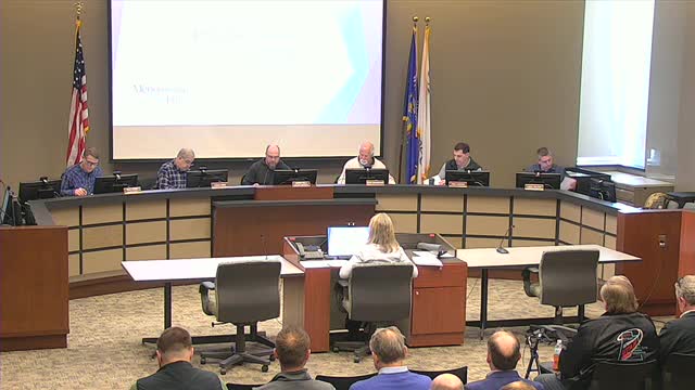
Technical clarifications and next steps: the applicant acknowledged two existing houses and outbuildings on the parcels would be removed if the project proceeds. The development team told the commission it will complete refined wetland delineations, provide buildable‑envelope (lot‑fit) information, produce grading and stormwater designs, and supply a traffic study during the formal application phase. No formal approvals or votes were taken; the commission provided feedback and asked the applicant to return with a refined submittal likely this summer.
What wasn’t decided: no rezoning, plat or final approvals were requested or granted at this meeting. Commissioners asked staff and the developer to show lot buildable footprints, comparative lot sizes from neighboring Bella Vista and to verify emergency access and turning radii.
Next steps: applicant to complete wetland delineations, submit a formal plat/rezoning application later this year and address county road/traffic requirements for any access on Lannon Road.