Get Full Government Meeting Transcripts, Videos, & Alerts Forever!
Get email alerts on the Land Use topic
No spam. Unsubscribe anytime.
League City presents Westside master plan to guide growth, drainage and parks on rapidly developing west side
Summary
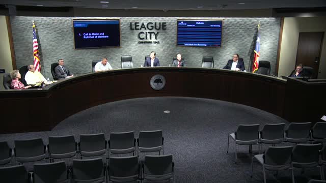
League City officials and consultant LJA presented a proposed Westside Regional Master Plan on April 8 that lays out land-use, mobility, drainage and placemaking guidance for roughly the city—s rapidly developing west side and the Grand Parkway/FM 517 corridor.
League City officials and consultant LJA presented a proposed Westside Regional Master Plan on April 8 that lays out land-use, mobility, drainage and placemaking guidance for roughly the city—s rapidly developing west side and the Grand Parkway/FM 517 corridor.
Katie Harris, associate principal and project manager with LJA, said the plan is intended to "guide long term growth and development for the area" and to respond to the fact that "more than 40% of the land in this area is still undeveloped." The plan proposes a future land-use mix the team said would shift the area from an assessed tax base that is heavily residential toward a roughly 64% residential and 36% commercial/mixed-use/industrial mix supported by parks and infrastructure planning.
Why it matters: council members and the consultant framed the plan as a blueprint to keep infrastructure, drainage and mobility in step with development while diversifying League City—s tax base. Consultants highlighted three primary issues the plan addresses: economic health, infrastructure (water, sewer, roads, trails) and flooding/stormwater management. The team emphasized integrating parks and green infrastructure into detention to create dual-purpose open spaces that serve recreation when dry and stormwater detention when needed.
Presentation and public input
LJA said the master plan reflects about a year of work and multiple engagement efforts, including two surveys and a November 2024 public open house. Harris reported the first survey (January—6June 2024) received more than 1,313 responses; the November public meeting and follow-up online survey received roughly 530 responses, and more than 400 open-ended comments about parks, green space, traffic, infrastructure and flood mitigation. Harris said the second survey favored the more integrated design option ("Option B"): "Option A only was favored by 12.6% of the respondents and over 64% of the public preferred Option B."
Technical analyses and plan elements
Consultants described a high-level hydraulics and hydrology review that confirmed the area is flat and will require substantial detention for future development. Because of topography and existing flows, the team said a strictly regional detention system was not feasible across the whole area and proposed a hybrid approach combining regional and more traditional site-level detention depending on location.
The team reviewed the city's updated master mobility plan and the capital improvement plan to confirm proposed land uses could be served by utilities and transportation improvements. They also said environmental desktop reviews (threatened and endangered species overview, wetland assessment, cultural resources review and a phase 1 environmental site assessment) were high-level and that further studies will be required as development proceeds.
Place-making and districts
The plan identifies four character districts the consultants called the Gateway, the Preserve, the Groves and the Quarry, intended to guide branding, open-space placement and compatible development. Harris described dual-purpose detention areas that would function as public open space when not storing stormwater, citing examples such as Eleanor Tinsley Park and The Woodlands as precedents for combining amenity and flood management.
Council discussion and clarifications
Council members asked about the makeup of the public surveys, the role of industrial uses and who will pay for roadway expansions. Consultants said the land-use percentages compare only the residential and commercial categories and that the proposed plan includes a higher commercial share than League City—s historically developed areas. On industrial uses the consultant said the plan limits industrial acreage and described the anticipated industrial type as "flex" or warehouse-style uses similar to existing Butler Business Park-type development rather than heavy industry.
On funding and road construction, city staff and consultants said, consistent with current practice, most local roadway buildout in new development would remain developer-driven with the exception of major corridors such as the Grand Parkway.
Next steps
City staff and the consultant said the plan will be presented to the Planning & Zoning Commission on April 21 and will return to City Council for action on May 13. Consultants and staff emphasized the future land-use plan is a guiding document rather than a rezoning: "It is not a rezoning. This gives us direction when we're negotiating and working with developers on the West Side," a staff member said. Formal zoning or ordinance changes and any required environmental or infrastructure studies would follow as specific development proposals come forward.
Ending
The presentation closed with staff requesting council feedback and with a schedule for the Planning & Zoning and council hearings. No formal vote or ordinance was taken at the April 8 work session.