Get Full Government Meeting Transcripts, Videos, & Alerts Forever!
Get email alerts on the Public Safety topic
No spam. Unsubscribe anytime.
Ivins fire chief presents citywide wildfire-risk map; council discusses insurance, fuels work and homeowner outreach
Summary
Ivins Fire Chief presented a living wildfire-risk map identifying high-, medium- and low-risk areas, and council members pressed for outreach to the state over a classification that is raising homeowners' insurance rates; chief described ongoing fuels mitigation, mosquito-abatement work and staffing gains.
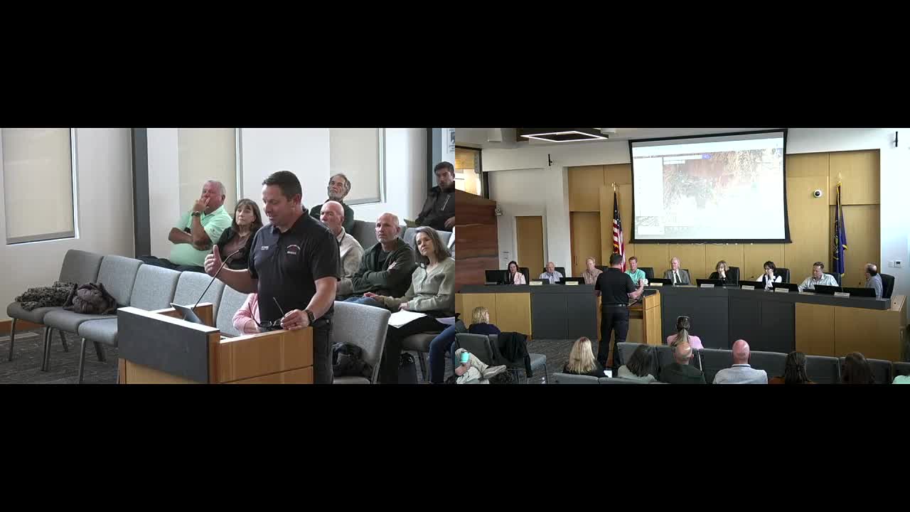
Chief Kazara told the Ivins City Council on April 3 that staff have developed a geographic, color‑coded wildfire-risk map that ranks washes, native vegetation and developed areas as high, medium or low risk and that the map will be a living document updated as mitigation work continues. "What we're trying to do is identify the heavy fuel loads and the high risk," the chief said, explaining the assessment weights fuel load, access, water availability and nearby infrastructure.
The map highlights pockets the fire department currently rates as high risk — including areas around the Cayenta neighborhood and parts of the Santa Clara River corridor where homes and infrastructure are close to native vegetation. Kazara said other areas such as the Tuohcon Wash have been downgraded to low risk after recent clearing by ACE crews, but he warned they could return to high risk without sustained maintenance.
The discussion shifted to insurance after several council members and residents said state-level maps are being used by insurers to raise premiums. Councilmember Anderson asked whether the city's map differs from the state map that insurers reference. Kazara said the state has labeled some areas "high risk" and that the city map currently mirrors that classification in places. "My hope today is just to identify some areas of concern and educate, have a conversation so you understand what we're working on," Kazara said. He said he would be willing to speak with state officials about updating the state map but asked council to identify the right contacts.
Council members pressed for next steps to help affected homeowners. Mayor Chris Hart and others suggested an education campaign focused on insurance outcomes: explain to residents how home‑landscaping and defensible-space work influence underwriting decisions and premiums. Several council members proposed a community forum tied to the city's existing "talk abouts" series; Kazara agreed to participate and Mayor Hart suggested inviting a state insurance official who has previously briefed local governments.
Kazara reviewed departmental activity for March in the same presentation. He reported two backcountry rescues aided by GPS location technology, a garage fire linked to an e-bike battery charger that caused about $30,000 in damage, and ongoing wildland-refresher training for crews. He also announced recent and pending hires: offers were accepted for a captain and three firefighter positions from nearby departments, with new personnel expected at the start of the next 24‑day staffing cycle.
On fuels and related projects, Kazara said the department is prioritizing: clearing and maintaining vegetation near a substation by Red Mountain Elementary, continuing maintenance of the Tuohcon Wash and pursuing projects along the Santa Clara River and other washes. He also reported coordination with the Flood Control Authority and mosquito abatement crews on a newly identified mosquito breeding site off Ivins 81; crews may burn, chip or drain that site as funds and permits allow.
The council and staff agreed to pursue public education on defensible-space measures and insurance, to ask the fire chief to open dialogue with the appropriate state office about the state risk map, and to schedule a joint public session (the mayor proposed Rocky Vista University's auditorium) on wildfire preparedness and insurance considerations.
Why it matters: The city's map and outreach effort can affect homeowners' insurance and public-safety preparedness. Staff framed mitigation work as a combination of city projects, partnership funding (ACE crews, flood control) and private property stewardship by homeowners. Ending: Council members asked staff to return with a plan for public education and next steps for state contact and to coordinate dates for a public forum with Rocky Vista University.