Get Full Government Meeting Transcripts, Videos, & Alerts Forever!
Get email alerts on the Floodplain topic
No spam. Unsubscribe anytime.
Planning board approves update to Town of Woodfin flood-damage prevention code, raises freeboard to 4 feet
Summary
The Town of Woodfin Planning Board of Adjustment voted unanimously April 1 to approve amendments to Chapter 14 of the town code, the town's flood-damage prevention ordinance, including raising the freeboard requirement from 2 feet to 4 feet.
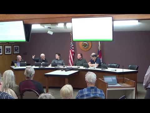
WOODFIN, N.C. — The Town of Woodfin Planning Board of Adjustment voted unanimously April 1 to approve proposed amendments to Chapter 14 of the town code, which governs flood-damage prevention. The board's action follows a staff presentation describing several changes aimed at reducing flood risk to new construction in mapped FEMA flood zones.
Town planning staff member Ricky told the board the update would apply to areas mapped by FEMA as the 1% annual-chance (100-year) floodplain. "We were proposing to change the freeboard standard from 2 feet to 4 feet," Ricky said. He also described other changes proposed in the draft ordinance: lengthening the look-back period used to determine "substantial improvement" of a building, measuring elevation to the bottom of the lowest structural member rather than to the finished floor and adding standards for tanks and temperature-controlled spaces placed below the lowest floor.
The changes the staff proposed include: - Increasing the freeboard requirement from 2 feet above Base Flood Elevation (BFE) to 4 feet above BFE; the new measurement would be to the bottom of the lowest structural member rather than the finished floor surface. - Retaining the "substantial improvement" trigger at 50% of building value but extending the standard look-back period from 1 year to 5 years (and applying a 10-year look-back for repairs that follow a documented flood event). - Prohibiting fill in the flood fringe and adding standards to limit the conversion of space below the lowest floor to temperature-controlled habitable space. - Adding definitions and updating references to state and federal agencies and to flood zones; adding standards for above-ground tanks and development involving hazardous materials.
Ricky said the town's existing ordinance compared reasonably well with the model code but was "a little bit silent" on some subjects and that updating the text would help the town pursue participation in FEMA's Community Rating System (CRS), which can reduce flood insurance premiums for policyholders. "The goal is I think the town would like to explore CRS, to potentially get insurance discount points for policyholders that are participating in the federal flood insurance program," he said. He noted CRS participation is rigorous and that Asheville was the only nearby jurisdiction he found participating.
Board members asked for clarifications about how the new elevation measurement would affect finished floor heights and whether the town would automatically adopt future remapped floodplain boundaries; Ricky said the ordinance would apply to properties that fall into the regulated zone and that the town would implement the rules tied to the adopted maps.
After discussion, a board member moved to approve the amendment and to find the measure reasonable and in the public interest. The motion was seconded and the board recorded unanimous approval: Mister Hanson, Mister Valentine, Mister Doroney, Mister Hopkins, Jerry Vihon, Mister Young and Mister Hayes all voted yes.
Ricky said staff would make minor edits identified in the packet and noted the town currently relies on Buncombe County to manage its floodplain program; the update would position Woodfin to take on more of that work if the town chose to do so.
Why this matters: The changes raise the regulatory flood protection elevation for new construction in the mapped floodplain, revise how cumulative repairs trigger full compliance, and remove an explicit allowance for filling the fringe zone. Those changes affect what property owners must do when they build, repair or elevate structures in regulated flood zones and could change whether future development is allowed in some locations.
The board's approval is a recommendation from the Planning Board of Adjustment. The meeting minutes and packet identify the item as the board's proposed amendment to Chapter 14; the record does not state whether additional action by the Town Council is required prior to final adoption.