Get Full Government Meeting Transcripts, Videos, & Alerts Forever!
Get email alerts on the Environment Water topic
No spam. Unsubscribe anytime.
Chester County highlights Watersheds 2045 plan, new flood tools and targeted watershed studies
Summary
The Chester County Water Resources Authority outlined its updated Watersheds 2045 plan at the March 19 Board of Commissioners meeting, describing new flood-mapping tools, planned Brandywine and White Clay Creek flood studies and initiatives to name unnamed tributaries and track drought conditions.
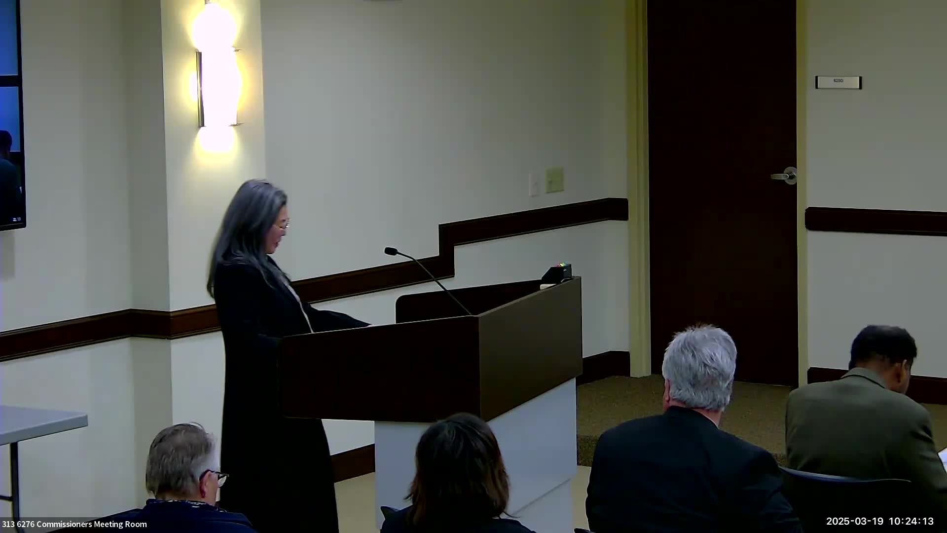
Sanabia, executive director for the Chester County Water Resources Authority, presented Watersheds 2045 and related flood‑planning work to the Chester County Board of Commissioners on March 19, saying the plan updates the county's water resources strategy and tools through 2045.
The presentation summarized the authority's role and assets, including four regional flood‑control facilities (Struble, Beaver Creek, Barnston and Hibernia/Chambers Lake) and partnerships with state and federal agencies. "We are not a public water supplier," Sanabia said, adding the authority was formed in 1961 "for the purposes of flood control and water resources management." She said Chambers Lake provides releases to support Pennsylvania American Water's intake downstream.
Why it matters: the authority framed Watersheds 2045 as a multi-decade planning effort addressing population growth and more intense storms. The plan sets seven goals spanning outreach, recreation access, land preservation, water quality restoration, stormwater reduction, land‑use policy coordination and utility coordination.
Key details and near-term work: Sanabia said the county has about 2,300 miles of streams and 21 watersheds and described three technical initiatives now underway:
- An updated storm‑event analysis and a beta flood‑mapping tool residents can use to drop pins and report localized flooding for county review. - Three additional deep hydrologic and hydraulic flood studies, including a Brandywine flood study that Sanabia said should be finalized in the next couple of months and a planned White Clay Creek study conducted with partners. - A countywide GIS inventory and partnerships with the United States Geological Survey to collect groundwater, streamflow, precipitation and water quality data.
Sanabia also described a new drought dashboard and an initiative to submit names for previously unnamed tributaries to the U.S. Board on Geographic Names to improve protection and local stewardship. "You can actually go and name unnamed streams," she said, while noting final naming decisions are made by the U.S. Board of Geographic Names.
Numbers presented: the director said the county has permanently preserved more than 30% of its land and that the county saw "about a 23% increase in population up to 2022" and is projecting an additional "19% increase by 2045," figures presented by the Water Resources Authority to frame future stormwater and growth pressures.
The authority stressed the plan was developed with an advisory committee of roughly 30 stakeholders and multiple county departments and that Watersheds 2045 incorporated public outreach, surveys and both in‑person and virtual meetings.
Commissioners did not take a formal vote on the plan at the meeting; the presentation served as the departmental spotlight and public briefing. The authority provided contact information and directed residents to waterchesco.org for dashboards and maps.
The board later moved on to routine business.