Get Full Government Meeting Transcripts, Videos, & Alerts Forever!
Get email alerts on the Shoaling Dredging topic
No spam. Unsubscribe anytime.
Jacksonville task force presses for answers as St. Johns River shoal grows into navigation and safety hazard
Summary
At a Jacksonville Waterways Commission meeting, local officials, university researchers and maritime representatives described an expanding shoal in the St. Johns River they attribute to dredge spoil practices and urged a coordinated study and talks with the U.S. Army Corps of Engineers to identify sources and remedies.
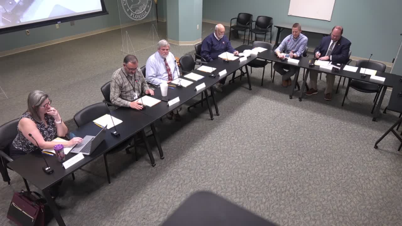
At a Jacksonville Waterways Commission, River Shoaling and Artificial Reef Task Force meeting, city and community representatives described an expanding shoal in the St. Johns River that participants say has become a navigation and public-safety hazard and is affecting shoreline infrastructure and park access.
Speakers said the shoal developed after dredging work in Back River and spoil disposal at a nearby military spoil site, and that material leaking from the spoil basins has repeatedly re-entered the river. They called for a coordinated, multi-agency response and data collection to identify the source and to stop further accumulation.
The shoal matters because it has widened from being a low-tide hazard to an obstruction at many tide levels, creating risk for recreational and commercial vessels, damaging shoreline infrastructure at Huguenot Park, and affecting popular park access. Presenters described incidents of boats striking the shoal, at least one serious injury, and repeated closures or temporary repairs to park roads.
Presenters said the problem traces to maintenance and discharge practices tied to dredging operations. According to the meeting record, dredge spoils from the Army Corps’ Back River work have been routed to a spoil basin where piping and settling processes are intended to retain material; participants said those basins have leaked or overflown, releasing fine sediments back into the river. Jacksonville University marine scientists proposed a tracer test using colored, fluorescent grains that would allow researchers to track where material moves after disposal.
Participants described past efforts and obstacles: the city has installed temporary marker buoys for vessel safety, hydrologists consulted at the request of local officials warned the shoal tends to “snowball” (accumulate further once formed) and will not disappear without source control and remediation, and local staff reported repeated difficulty securing cooperative investigation access to federal spoil areas. Meeting speakers said the Army Corps has at times declined requests for site access and has stated that some dredged material is disposed offshore.
Cost estimates and study proposals were discussed. Meeting participants reported two different cost figures discussed in prior contacts with federal agencies: mention of a roughly $3 million study and a separate “million-something” study that would require an upfront payment in the low hundreds of thousands (one speaker said about $200,000 up front). Meeting speakers said those price tags have slowed local efforts because the city cannot unilaterally fund the larger studies and because the Army Corps has questioned whether it would accept externally produced findings.
Jacksonville University marine scientists (Dr. Jeremy Stocker and Dr. Quinlan White) offered a targeted tracer approach intended to produce clear, field-level evidence of material pathways; meeting participants said that approach met resistance from federal partners but could be less costly than broader hydrodynamic studies if accepted by all parties. Local officials and a congressional office representative said they could help convene agencies and attempt to secure agreement up front that results would be treated as valid evidence.
Speakers also raised shoreline impacts at Huguenot Park. City staff reported repeated erosion and temporary road closures attributed in part to altered currents at the river mouth and noted the park receives heavy visitation (one presenter cited about 400,000 annual visits). Staff said prior emergency riprap placed with FEMA assistance protected a localized section but left sections that continued to erode, and that relocating roadways inland is being considered as a longer-term response.
Next steps discussed at the meeting included: seeking a convening with the Army Corps to clarify dredge-disposal protocols; exploring a targeted tracer study with Jacksonville University if the Corps and other stakeholders agree in advance on methods and validation; pursuing available federal grants and congressional engagement to offset study costs; and maintaining temporary navigational markers for boater safety while longer-term solutions are developed.
The task force did not take a formal, recorded vote on a study or remediation plan during the session; speakers described a sequence of follow-up actions and stakeholder outreach that city staff and the congressional office offered to help coordinate.