Get Full Government Meeting Transcripts, Videos, & Alerts Forever!
Get email alerts on the Fire Hazard Maps topic
No spam. Unsubscribe anytime.
Officials say new state fire‑hazard maps need local review; county to provide context
Summary
County fire officials and elected leaders addressed the state’s newly released fire hazard severity zone maps, saying the maps use statewide modeling and do not incorporate all local conditions. Local jurisdictions will release adjusted maps and guidance during their 30‑day review windows.
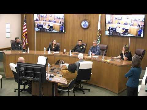
Santa Barbara County fire officials and local elected leaders discussed the state’s newly released fire hazard severity zone maps and emphasized that local review is required to apply local conditions and access, officials said at a Solvang wildfire forum.
Fire Marshal Fred Tan described the state maps as broad, model‑driven products that use fuel, topography and historic fire behavior to estimate hazard. ‘‘It’s kind of a flood map for fire,’’ Tan said, adding that the state models do not fully account for local mitigation such as defensible space, home hardening and recent prescribed burns.
Tan said Santa Barbara County contains roughly 830,000 acres of state responsibility area (SRA) and that the county has been conducting prescribed burns and fuel‑reduction projects — including projects he cited by acreage — to reduce local risk. The state released its maps to local agencies on March 10; local jurisdictions were expected to post jurisdiction‑specific versions during their 30‑day review windows, Tan said.
Supervisor Joan Hartman and other speakers cautioned that being labeled a higher hazard on a statewide map can have insurance and community impacts. Hartman said local agencies cannot designate lower hazard than the state’s map but can apply local data and make more restrictive determinations where appropriate; she said the county will publish local guidance and outreach materials to clarify the maps’ implications.
The forum also covered operational preparedness and evacuation planning, and county staff said they planned to release more information about local map updates and about notification tools such as ReadySBC and forthcoming zone‑based alerts (the Genesys/Zonehaven project) that will deliver phased warning and evacuation notices.