Get Full Government Meeting Transcripts, Videos, & Alerts Forever!
Get email alerts on the Wildfire Mapping topic
No spam. Unsubscribe anytime.
CAL FIRE maps now show high‑hazard zones inside Saint Helena city limits; council to consider adoption April 22
Summary
City staff briefed the City Council on newly released CAL FIRE fire hazard severity zone maps that, for the first time, include areas inside Saint Helena. Staff will bring a formal adoption item to the April 22 meeting and seek public comment.
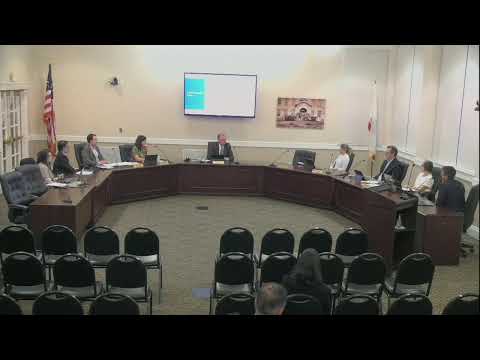
City fire staff told the City Council on March 25 that CAL FIRE released updated fire hazard severity zone maps on Feb. 24, 2025, and those maps now include high and very‑high hazard designations that extend inside Saint Helena city limits for the first time.
Fire Chief Sorensen and Community Development Director DeRosa briefed the council on the maps and explained that the mapping effort extends CAL FIRE analysis — which dates back to earlier decades — into local response areas after state legislation in 2022. Chief Sorensen said the map colors denote "very high" (red), "high" (orange) and "moderate" (yellow) hazard zones, and that the model is based on ember cast, wind direction, fuels and a 50‑year assessment of current conditions.
Council members asked how the mapped areas relate to local streets and landmarks; Chief Sorensen pointed out that mapped high zones touch Silverado Trail and areas near White Sulphur Springs cemetery. The city has posted the maps on its community development and fire department websites and will accept public comments through the city's stated web form. Director DeRosa said state comment submissions will be posted to the agenda when the council takes up the adoption item on April 22.
Council members and staff discussed related implications for real estate disclosure, defensible‑space rules, and how the mapping aligns with state maps. Chief Sorensen said the maps rely on a statewide methodology and that a short video explaining methodology will be posted to the city site.
No formal action was taken March 25; the council was briefed and staff will return with an adoption resolution and all public comments at the April 22 meeting.