Get Full Government Meeting Transcripts, Videos, & Alerts Forever!
Get email alerts on the Comprehensive Plan topic
No spam. Unsubscribe anytime.
Bannock County adopts updated comprehensive plan with map change to light industrial
Summary
The Bannock County Board of County Commissioners adopted an updated comprehensive plan that includes multiple clerical edits, an amendment to the future land use map converting a parcel to light industrial to match existing uses, and other edits requested by the planning council.
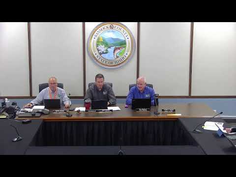
The Bannock County Board of County Commissioners adopted an updated comprehensive plan Wednesday after a public hearing and several public comments.
Tristan Borkwin, assistant planning director, told the commission the plan update began after outreach and public open houses identified that the 2021 plan contained language and goals more appropriate to urban areas. Borkwin said staff proposed edits to better reflect the county—s rural areas and listed specific corrections staff intends to make, including adding Grace, Preston and Westside school districts to the section on school facilities and transportation and changing the Area of City Impact (ACI) service expectation from 20 years to five years. "We have the updated comprehensive plan that we are looking to adopt today," Borkwin said.
Borkwin also advised a wording correction to a section referencing the Portneuf Health Trust and showed a larger version of the future land use map to highlight one parcel that planning council recommended changing from residential suburban to light industrial so it would be contiguous with adjacent industrial designations and match existing gravel pits and related uses. He said some small map areas lacking data would be filled in by GIS to match surrounding land uses.
Public commenters generally supported the plan. Jay Christiansen of Pocatello said he favored approval so long as the change to the future land use map did not expand residential designations west of Loughran Road; he urged the county to preserve land for future growth. Dan Harrelson of Fort Hall Greenway (written testimony provided) urged preserving corridors for separated paths, particularly along Fort Hall irrigation canals and an old highway corridor between Pocatello and Inkom; he filed written testimony with specific suggested language for goals.
Planning council had recommended approval with the one map correction to change a parcel to light industrial. Commissioners praised the staff and planning council work, described the plan as a "breathing document" that may be revisited as conditions change, and moved to adopt the plan with the clerical and map corrections staff noted. The motion carried by voice vote; the transcript records commissioners answering "aye." Written submissions from James Bagley, Hannah Sanger, Margie and Lynn Stewart, John Brady and others were entered into the record.
Commissioners and staff noted next steps include updating ordinances to align with the revised plan and continuing periodic reviews; staff and the planning and zoning commission will incorporate the clerical edits and GIS map fixes identified during the hearing.