Get Full Government Meeting Transcripts, Videos, & Alerts Forever!
DNR officials brief Koochiching County on 2022 floodplain mapping and next steps
Summary
State floodplain staff explained why FEMA maps changed, described inputs such as LiDAR and USGS gauges, and offered to study areas of local concern including the Little Fork and Rainy rivers.
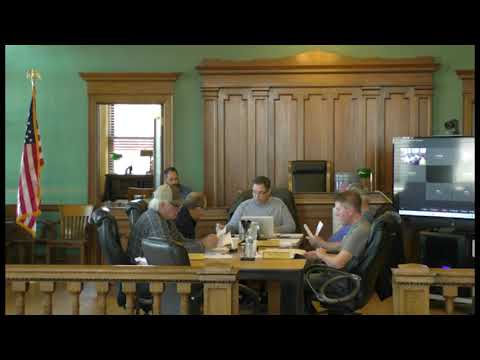
INTERNATIONAL FALLS, Minn. — Officials from the Minnesota Department of Natural Resources and FEMA contractors presented updated floodplain mapping methods to the Koochiching County Board of Commissioners on March 25 and discussed next steps for addressing areas where the 2022 maps changed boundaries relative to older maps.
State floodplain manager Celia Strauss and floodplain engineer Jeff Weese reviewed how modern mapping uses LiDAR topography, repeated cross‑section modeling, and long‑term USGS streamflow records to delineate the 100‑year floodplain. They said those updated inputs explain why some floodplain boundaries grew between the county’s older maps (1996 and earlier) and the 2022 revisions.
Board concerns and DNR response
Commiss…
Already have an account? Log in
Subscribe to keep reading
Unlock the rest of this article — and every article on Citizen Portal.
- Unlimited articles
- AI-powered breakdowns of topics, speakers, decisions, and budgets
- Instant alerts when your location has a new meeting
- Follow topics and more locations
- 1,000 AI Insights / month, plus AI Chat