Get Full Government Meeting Transcripts, Videos, & Alerts Forever!
Get email alerts on the Campus Infrastructure topic
No spam. Unsubscribe anytime.
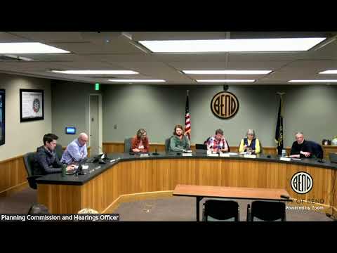
Planning commission backs OSU Cascades overlay changes, flags Parks & Rec access issue for council
Summary
The commission recommended City Council approve a package of text amendments to the OSU Cascades overlay — including higher building heights and Innovation District adjustments — but added two amendments and asked council to resolve a separate access dispute with Bend Parks & Recreation District before approving the revisions.
The Bend Planning Commission on March 24 recommended City Council approve a set of text amendments to the OSU Cascades overlay zone — changes that realign the Innovation Way roadway, adjust subdistrict boundaries, allow larger prototyping/manufacturing spaces and increase a maximum building height in the Innovation District from 65 feet to 85 feet — but the commission attached two changes of its own and asked council to address an outstanding access issue raised by Bend Park & Recreation District (BPRD).
City staff and the university said the amendments are intended to make the overlay more flexible for university-led development and private partners in a planned Innovation District, help balance site grading and remediation, and allow lab/prototyping spaces that require taller floor-to-floor heights and extra mechanical space. ‘‘One of the amendments is to increase the maximum building height to 85 feet,’’ a city planner said, adding the increase is aimed chiefly at floor-to-floor height and mechanical needs for lab and prototype buildings rather than adding more occupiable floors.
OSU Cascades representatives described the Innovation District as an area for companies to co-locate with the university, to prototype and test technology and to recruit students into internships and jobs. ‘‘Innovation Districts are intended to be more activated. They typically include living, learning, working and playing,’’ architect Eric Ridenour explained. OSU said the first phase includes about 10 acres of the Innovation District and that preliminary designs show a mix of campus buildings and a multifamily residential building for students or staff.
Several planning commissioners questioned where taller buildings would be placed relative to perimeter streets and whether shadows would affect neighboring properties; OSU said it ran shadow studies and noted much of the campus is lower than adjacent streets because of remediation grading, which reduces the perceived height from off-site viewpoints.
Public testimony focused heavily on an access dispute raised by Bend Park & Recreation District. BPRD said that when streets were constructed inside the superblock that contains OSU’s campus, a drafting error left a one‑foot gap in a public-access easement that prevented the agency from obtaining a legally guaranteed access route from the new private street into BPRD property. ‘‘When the public access easement legal description was drafted, it omitted a 1 foot section along the western boundary of the BPRD property,’’ Garrett Crossneck, attorney for Bend Parks & Recreation District, said. BPRD asked the commission and council to require that public or private access be clarified so the district retains a reliable access route.
OSU responded that it has allowed continued permissive access for BPRD and that the university intends to continue doing so; OSU said it prefers resolving access by a private easement between the parties rather than converting the university’s public-access easement into a vehicle for solving a private-access dispute. City staff said the master‑plan process and the earlier intended public-access easement were always meant to create an internal street network with public access over private roads, and that the one‑foot discrepancy appears to be a drafting omission in the recorded easement.
After discussion, the commission approved two amendments to the staff proposal: it removed one street cross-section option (figure 1.3) from the set of allowed street designs where that option duplicated a safer, wider multiuse path alternative; and it added a recommendation that City Council not approve the overlay amendments until the access issue to the BPRD property from the internal roadway system is resolved. The commission then voted to recommend council approval of the overlay text amendments as amended.
Votes and actions - Motion: Recommend City Council approve the OSU Cascades overlay zone text amendments (including Innovation Way realignment, increased Innovation District height limit to 85 feet, architecture and landscaping exceptions) with staff findings, as amended by the commission (removal of figure 1.3; request that BPRD access be resolved). - Outcome: Planning Commission recommendation to City Council (motion passed; commission voted on amendments during deliberation).
Next steps: The City Council will consider the commission’s recommendation and the outstanding access question raised by BPRD and OSU. City staff said they will work with the parties to clarify options for council review, but OSU and BPRD have differing views about whether the city should impose a solution or whether the parties should resolve the matter by private easement.