Get Full Government Meeting Transcripts, Videos, & Alerts Forever!
Get email alerts on the Vacant Land Map topic
No spam. Unsubscribe anytime.
Lexington posts vacant‑land map and data hub to help planning and redevelopment
Summary
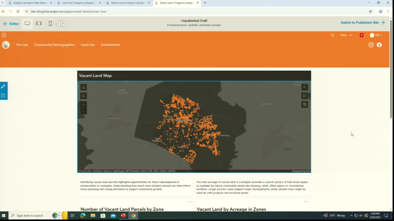
Planning staff unveiled an ImagineLexington Data Research Center layer showing vacant parcels by zone and acreage; staff said the portal will be updated annually and can be used to identify vacant B‑3 parcels and other redevelopment opportunities.
Planning staff provided an update on the ImagineLexington Data Research Center and said the portal now includes a map layer that shows vacant parcels across Lexington‑Fayette Urban County by zoning classification and acreage.
Staff said the vacant‑land layer uses a longstanding LFUCG methodology for classifying parcels and will be updated annually. The map allows users to click individual parcels to see address, acreage and zoning and provides a direct link to the zoning ordinance page that lists allowable uses for that zone.
Staff noted that the dataset currently counts vacancies as parcels with no principal primary use or those in agricultural use within the urban service area; it does not attempt to classify "underutilized" parcels. The presenter said there are currently 64 vacant parcels identified in the B‑3 zone in the dataset and that staff will refine search functionality (for example, allowing users to show all vacant parcels in a selected zone) in future updates.
Staff encouraged commissioners and the public to use the portal to inform infill and redevelopment discussions and said more resources and reports will be added over time.