Get Full Government Meeting Transcripts, Videos, & Alerts Forever!
Get email alerts on the General Plan topic
No spam. Unsubscribe anytime.
Orem planning commission advances general plan update; land-use mapping, timeline and ‘Family City USA’ theme discussed
Summary
At a March 19 work session the Orem City Planning Commission reviewed a draft introduction and timeline for the city's general plan update, discussed a working subtitle "Family City USA," and began detailed discussion of the land-use element, including rural/open-space protections, residential density categories and new commercial zone types.
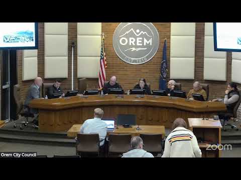
Orem City Planning Commission members and staff met in a March 19 work session to continue drafting the city's general plan update, reviewing schedule, a draft introduction and the land-use element.
The consultant presenting the draft told commissioners the update remains on a condensed schedule: roughly 12 commission meetings between March and September, a work session April 2 devoted to land use, transportation and water elements planned for May, additional elements in June, council briefings in August, final draft reviews in September and a target adoption in October.
Commissioners discussed the draft introduction'which uses the working subtitle "Family City USA"'and asked staff to expand or rework sections as the plan's elements are completed. The draft includes a brief history tying Orem's development to rail and industry, mentions the Geneva Steel plant'and later redevelopment of that area, and calls out cultural influences the draft says have shaped the city. Commissioners suggested the draft better acknowledge Utah Valley University'and WordPerfect/technology-sector growth when summarizing the city's recent history.
The meeting devoted most time to the land-use element and the map: staff and commissioners said the general plan map must be reviewed against current zoning, and that where the general-plan land-use designation does not match existing zoning the commission should make a deliberate policy choice rather than allow ad-hoc rezoning. Commissioners asked staff to produce large printed maps (including an aerial-only set) that commissioners can mark up by hand and to provide a zoning-layer map for side-by-side comparison.
Commissioners debated how to define residential density categories (low, medium, high) and where to preserve rural/open-space (OS-5) lots or treat them as transition areas. Several commissioners said agricultural/open-space areas are limited in Orem and should be explicitly protected where the commission wants them preserved so the city can point to the general plan when rezoning requests arrive. The consultant said OS-5 currently allows single-family homes on minimum five-acre lots, while an R-8 zone proposed elsewhere would allow single-family lots with a minimum of 8,000 square feet.
Members also recommended the plan create more nuanced commercial categories tied to functional roles: smaller neighborhood-level commercial zones for corner lots or small integrated sites, community commercial for State Street anchors, and different standards for light industrial, employment/tech centers and heavy industrial where appropriate. Commissioners suggested the draft include policy direction to create a small, specific zone for unusually shaped corner parcels that present access and safety challenges.
Commissioners and staff agreed to use the April 2 work session to review the draft land-use text and the large-format maps, to finalize definitions for the residential density bands, and to draft language that makes agricultural and open-space preservation an explicit policy where the commission wishes to keep those uses.
The consultant said staff will distribute an updated introduction and the first part of the land-use draft in the city's shared drive and print larger-format maps for commissioners to review before April 2.
Ending: The commission scheduled the April 2 work session to focus on land-use map review and asked staff to return with revised text and larger printed maps for markup.