Get Full Government Meeting Transcripts, Videos, & Alerts Forever!
Get email alerts on the Insurance And Flood Forecasting topic
No spam. Unsubscribe anytime.
Water Institute details insurance pilots, 'Flood ID' forecasting tool and community resilience support
Summary
The Water Institute presented ongoing work on community catastrophe insurance pilots, a real-time Flood ID forecasting system used during Tropical Storm Francine, urban stormwater modeling for New Orleans, and a community resilience catalyst to help smaller parishes access technical assistance.
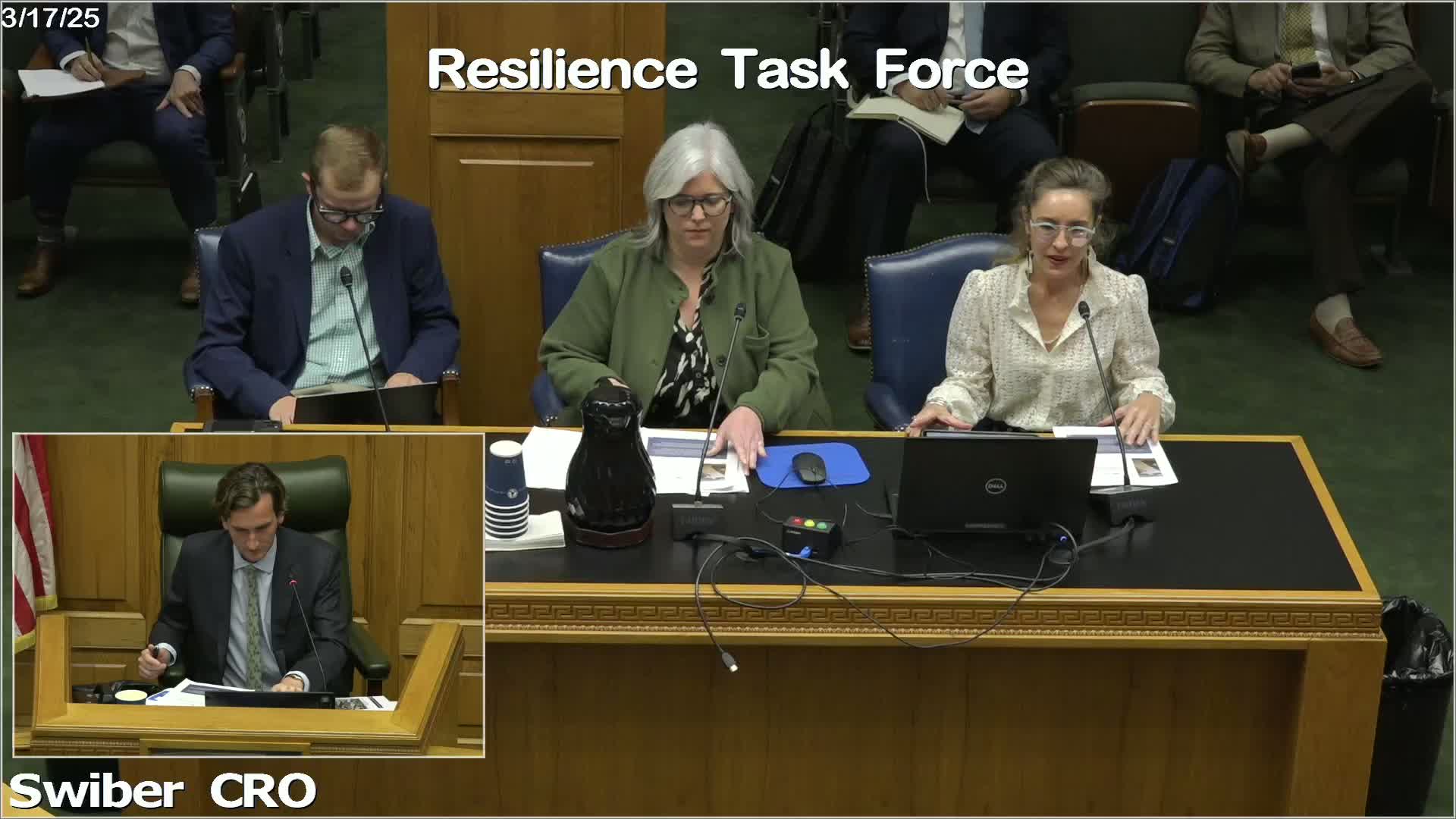
Representatives from the Water Institute briefed the Resilience Task Force on multiple ongoing projects including community-based catastrophe insurance pilots, improvements to flood forecasting and localized decision tools, urban stormwater modeling in New Orleans, and a new Community Resilience Center technical assistance offering.
Alyssa Dazman, chief scientist at the Water Institute, described the institute as "a collaboration hub" that draws on applied geosciences, planners, engineers and social scientists to provide state and local decision support. Colleen McHugh, senior planner, described the Community Resilience Center's insurance focus and two Louisiana pilots.
McHugh said the first pilot in Franklin will purchase parametric community-based catastrophe insurance (CBCI) and that "initial estimates just to put it in context are aiming for between 1,000 to 3,000 people receiving about 1,000 to 3 thousand dollars in payouts in the face of an event." She said the pilot aims to buy a two- to three-year policy, to test payout triggers and evaluate how the product performs alongside other local risk-reduction measures.
The institute is also working on a second pilot that would show how nature-based restoration (such as marsh projects) can be integrated into pricing and catastrophe-modeling, working with third-party modelers such as Verisk. McHugh said the second pilot lacks policy-purchase funding but is being used to demonstrate methodologies and pathways for integrating restoration-related risk reduction into insurance pricing.
On forecasting, Dazman described Flood ID, a localized, near-real-time flood forecasting and visualization system that the institute ran in beta during Tropical Storm Francine and which is being refined for use statewide. She said Flood ID combines storm surge, rainfall and coastal water-level predictions with street-level inundation outputs to provide decision-support dashboards for emergency operations teams.
The institute also described an urban-scale stormwater risk modeling effort for New Orleans that tests scenarios with different rainfall, pipeline-obstruction and pump availability to help prioritize maintenance and investments.
Task force members discussed how the institute's pilots might interact with state programs, duplication-of-benefits rules, and the department of insurance's regulatory considerations. The institute offered follow-up meetings and staff contacts for coordination with the Department of Insurance and the Office of Community Development.