Get Full Government Meeting Transcripts, Videos, & Alerts Forever!
Get email alerts on the Flooding And Resilience topic
No spam. Unsubscribe anytime.
Leland council directs staff to draft tougher flood-plain rules, including expanded zones and higher elevation requirement
Summary
After a technical briefing, Leland council members asked staff to draft ordinance changes that would expand the town's flood damage controls into higher-risk areas, raise required building elevation, limit density in flood-prone land and prohibit use of fill on certain parcels.
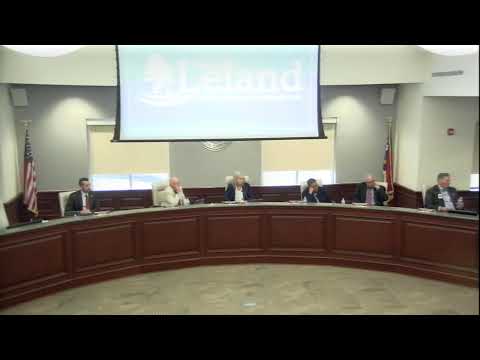
Town of Leland council members on Tuesday directed staff to draft changes to the town's Flood Damage Prevention Ordinance that would extend the ordinance's reach and raise building standards in areas at risk of coastal and storm flooding.
Planning staff presented data showing hundreds of existing and proposed residential sites in FEMA-designated risk areas and walked council through regulatory tools used elsewhere to reduce flood risk. After discussion about legal and practical trade-offs, councilmembers asked staff to prepare ordinance language implementing four of five options the town outlined: expand the ordinance into the 500-year (shaded X) risk area, increase the town's freeboard requirement to four feet, add limits on density in mapped flood areas and prohibit the use of fill to raise lots in the most vulnerable places. Staff will bring proposed language back to the planning board and council for review.
The move follows staff analysis prepared in January showing roughly 155 residential structures wholly or partly within the 100-year (A/AE) flood zones and another 131 structures in the broader 500-year (shaded X) areas. Planning staff told council there are about 450 lots in preliminary plat or pending planning review that are wholly or partly in A/AE zones; three single-family units were permitted and under construction subject to the town's flood rules as of January.
The presentation also explained how the town determines whether a damaged structure must be upgraded to current standards. Under the town's procedures, a structure meeting the "substantial damage" threshold must be brought into compliance with the rules in effect at the time of rebuilding. Substantial damage can be found in two ways: a single event where repair cost exceeds 50% of a structure's market value, or an average per-event repair cost exceeding 25% over a 10-year rolling period. Planning staff said an elevation certificate or an appraisal can be submitted by a property owner to challenge the town's estimate.
Andrew Nelon, the town's floodplain administrator, described how the town estimates market value and repair costs for the substantial-damage calculation and how homeowners can submit contractor estimates or an appraisal to dispute the town's figures. "What we have done in the past is essentially done an average of the home sales of the general area whenever there has been a flood damage area," Nelon said. "If they feel that... the town's use of the FEMA custom damage estimating tool is not accurate, they can provide an appraisal to the pre-damaged state of the home."
Council members pressed staff on several implementation details: whether lots already platted but not yet built would be subject to new standards, how the town would handle inflation or post-determination cost increases, and whether prohibiting fill could run afoul of a state law enacted late last year that staff said creates some legal uncertainty. Planning staff advised that the legal effect of a ban on fill or an outright prohibition on new residential structures in flood zones could trigger state-level takings or down-zoning questions and recommended proceeding thoughtfully with legal review and public notice.
Staff also told council the town's current freeboard requirement is two feet above base flood elevation and that federal insurance savings diminish beyond roughly four feet of freeboard. Council members who supported raising the standard argued the safety and long-term risk reduction justified the change. Several members said they preferred a package of changes that moves the town toward more protective standards without immediately prohibiting all development in flood-prone areas.
On timing and compliance, staff said elevation and repair estimates are assessed at the time of each damaging event and that owners typically have about a year to rebuild under current procedures; the town retains the authority to require elevation certificates as needed. Staff also noted the town remains in the Community Rating System (CRS) program and that a full federal flood-audit review generally occurs every five years.
Council gave staff direction, not a formal vote, to draft ordinance language reflecting the four chosen options and return the draft to the planning board and council for consideration. Planning staff said they would consult with North Carolina Emergency Management and the town attorney as they prepare the ordinance language.
Community members, developers and property owners will have additional opportunities to comment on any proposed ordinance through the planning-board and council review process.
Ending: Council members described the decision as an incremental approach that allows the town to move toward more protective standards while staff completes the legal review and drafts specific ordinance language for formal public hearings and votes.