Get Full Government Meeting Transcripts, Videos, & Alerts Forever!
Get email alerts on the General Plan topic
No spam. Unsubscribe anytime.
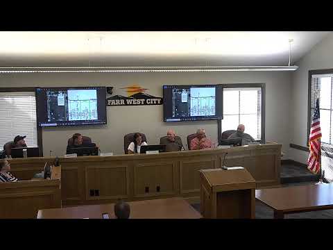
Planning commission reviews redline of Far West City general plan; parks, trails and cemetery flagged for follow-up
Summary
Planning commissioners reviewed a redline draft of the Far West City general plan, agreed to update statutory citations and photos, asked committees to refine trail and park specifications, and flagged a proposed cemetery entry for city council consideration.
At a planning commission work session, members reviewed a redline draft of the Far West City general plan and identified specific text, map and photo updates along with several items for further committee work or city council review.
Commissioners and staff said the redline will be what the city council sees for the next step and agreed to several targeted edits and follow-ups so the document reflects current conditions and state code.
Why it matters: The general plan guides long-range land use, parks, trails and infrastructure decisions. Commissioners focused on items that could affect development expectations — including trail surface specifications, park locations and an item proposing a cemetery — and tried to limit statements that could become obsolete as zones or projects evolve.
The group asked staff to verify citations and update Chapter 1’s purpose statement to match the current language on the state website and to correct any code references where numbers have changed. Commissioners asked that a link to the municipal code be provided from plan text where the plan describes zoning types, rather than enumerating the number of zones so the plan does not become quickly out of date.
Photos and map items: Commissioners agreed to replace concept images with current photos where appropriate (for example, an updated photograph of Mountain View Park) and to remove or revise images that show construction sites or incomplete work. Several park entries and map labels were marked for cleanup: the packet referenced a library site now folded into a larger Meadows Park and a 5‑acre placeholder in an Industrial/Commercial Zone that planners recommended deleting or revising. Planners asked the parks subcommittee to review park acreages and map legends and to return recommendations for revised text and map labels.
Trails and active transportation: Commissioners discussed the plan language that currently lists an expectation to “develop systems of trails” and concluded the general plan should not specify technical trail construction requirements (surface, width) in the plan text. Instead, they directed staff to ask the active transportation committee to develop a specification or ordinance as an implementation task and to coordinate where trail types should be shown on the land‑use/map layers. Commissioners asked that the active transportation plan/map be linked from the plan so readers can inspect the detailed map.
Zoning and mixed‑use language: The commission agreed to avoid enumerating counts of zone types in the plan text. Instead the plan should describe the types of zones (residential, commercial, mixed use, manufacturing) and point readers to the municipal code for current zone definitions and specifications. Commissioners directed staff to draft a short sentence to that effect for the redline.
Cemetery language: The plan contains a goal noting the possibility of a cemetery in a particular area. Commissioners described the item as a “can of worms” because it raises questions about long‑term maintenance, staffing and possible taxation. They agreed the cemetery passage should be flagged for city council consideration and recommended either deleting or marking it as a potential item for council discussion rather than a firm city goal.
Economic development and broadband: Commissioners supported adding explicit language to encourage goods and services in the economic‑development goals and to describe continued development of a citywide broadband network (for areas still lacking fiber). They recommended adding a short goal to promote goods and services and linking economic goals to the land‑use map.
Assignments and next steps: staff were asked to verify state code citations and update Chapter 1 language, to replace selected concept photos with current images where appropriate, and to add links to the municipal code and the active transportation plan. The parks subcommittee and the active transportation committee were tasked to review maps and technical specifications and return recommendations to the commission. The commission indicated it will present the redline version and a short list of bullets to city council at the council joint meeting for further direction.
The commission planned to continue detailed review in a follow‑up work session and to bring finalized redline language to council once committees return their recommended technical language.