Get Full Government Meeting Transcripts, Videos, & Alerts Forever!
Get email alerts on the Fire Safety topic
No spam. Unsubscribe anytime.
Lake County supervisors continue first reading of ordinance designating fire-hazard severity zones
Summary
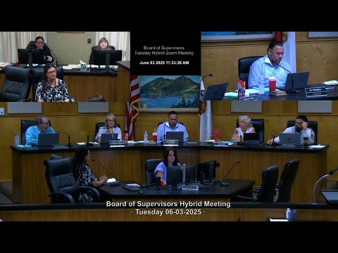
The Lake County Board of Supervisors on Monday agreed to continue consideration of an ordinance adopting updated fire hazard severity zone maps for Local Responsibility Areas in unincorporated Lake County to June 10 at 9:30 a.m.
The Lake County Board of Supervisors on Monday agreed to continue consideration of an ordinance adopting updated fire hazard severity zone maps for Local Responsibility Areas in unincorporated Lake County to June 10 at 9:30 a.m.
Maria Turner, Community Development Director, told the board staff requested the continuance after “inadvertently omitted the public input that we received during our 90 day public review period for these fire maps.” Turner said the county’s public review ran Feb. 12 to May 12 and that printed maps were available in the Community Development Department and online at ready.lakecountyca.gov.
The update would raise the fire-hazard designation on a majority of county parcels, Turner said, and she reminded the board that “according to state law, a local jurisdiction is not allowed to reduce the fire hazard severity. However, you do have the option to increase the fire hazard severity on parcels.”
Residents and supervisors focused discussion on practical effects. A resident said, “My big concern is how that's gonna affect our fire insurance rates,” noting that many property owners already face rising or unavailable coverage. Turner and other board members said the county cannot control insurers’ internal mapping but acknowledged insurers frequently use hazard maps in pricing.
Supervisors also discussed how the maps interact with building rules. Turner said Lake County enforces Wildland-Urban Interface (WUI) building requirements and that much of the county is already covered by WUI rules; she offered to confirm whether raising a parcel’s designation would change permit requirements. Board members and a resident noted that, under the mapping practice described at the meeting, parcels with split severity ratings are treated at the highest severity for permit processing and public counter staff often convey that fact to applicants.
Supervisor Sabatier proposed two steps: (1) for parcels smaller than roughly five acres, treat split parcels as a single, higher severity to reduce confusion at the permit counter; and (2) send a joint letter from the county’s elected leaders to state officials and through regional associations to express concerns about the mapping methodology. Sabatier said jurisdictions such as the city of Clear Lake are considering similar steps.
County Counsel Lloyd advised the board that staff could convene with the state representative and that supervisors may give direction to staff during the continuance to prepare any requested materials. Turner said she would work with GIS and the administrative office on parcel flagging and the proposed letter and would return with the missing public-review comments.
On a motion by Supervisor Sabatier, seconded from the board, the supervisors voted to continue the item to June 10 at 9:30 a.m. The board also indicated by consensus that it wants staff to draft a letter conveying county concerns to state officials. No roll-call tally was recorded on the record of this item; the chair declared the motion carried.
The board’s next steps include staff conferring with the state representative on split-parcel practices, a GIS review to identify smaller parcels for potential single-severity designation, and a draft county letter for board review ahead of the June 10 continuation.