Get Full Government Meeting Transcripts, Videos, & Alerts Forever!
Get email alerts on the Zoning Map And Mapping topic
No spam. Unsubscribe anytime.
Planning board highlights zoning map update using Bridgewater State student work; seeks web posting and further deep dive
Summary
The board received an updated multi-layer zoning map produced quickly by a Bridgewater State University student and discussed posting it publicly while noting it is for planning purposes only. Staff will pursue a deeper, more precise mapping effort with a staff or consultant later in the year.
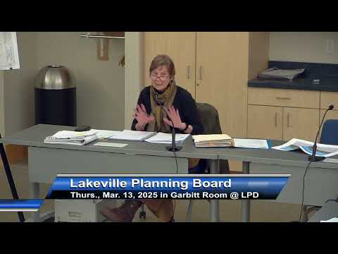
Members of the Lakeville Planning Board on March 13 reviewed progress on the board’s goals, including an updated zoning map prepared with assistance from a Bridgewater State University student.
Town Planner Nancy Durfee said she solicited a student to create a version of the town zoning map that adds missing layers — floodplain, Water Resource Protection District and the marijuana overlay district — and received a usable product within about a month. Durfee said the map is for planning purposes only and carries a disclaimer about its accuracy; she has placed copies in the planning office and the assessors’ office and recommended posting the map on the Planning Department web page so applicants and staff can more easily see layers that are often omitted on older maps.
Board members agreed the new map is a substantial improvement over the current publicly available map, noting missing streets and poor legibility on the older version. Durfee said a planned deeper technical effort with a consultant (Serpid referenced) should follow, and the board discussed expanding the map onto an interactive Assessors-style parcel viewer in future.
Members also reviewed a range of ongoing goals — rules and regulations updates, senior-housing outreach, stormwater bylaw work and form revisions (ANR/form A, form B, form C) — and asked staff to keep the zoning map and mapping work as a priority for the coming months.
The board discussed sending a formal thank-you to the student who produced the map and agreed the student’s work should be credited and used as a near-term improvement while a more thorough, consultant-driven mapping project is pursued.