Get Full Government Meeting Transcripts, Videos, & Alerts Forever!
Get email alerts on the Growth Areas Buildout topic
No spam. Unsubscribe anytime.
Worcester County planners detail growth-area mapping and warn sewer capacity will limit buildout
Summary
County planning consultants walked the planning commission through a buildout methodology for identified growth areas, estimated potential residential capacity and said sewer infrastructure — not zoning — is likely to limit new development.
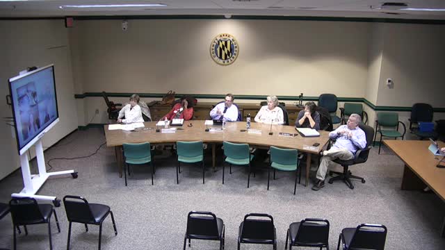
At a virtual Worcester County comprehensive plan work session, county planning consultants reviewed draft growth-area boundaries and the methodology they used to estimate potential residential and nonresidential buildout. Nick, an AICP-certified planner working with the county, presented the mapping, assumptions and conversion of developable acreage into equivalent residential units.
The presentation described a multi-step method: remove environmentally constrained acreage (the consultant said developers commonly subtract about 15–25% of gross acreage for constraints), apply density ranges by land-use type, and then convert nonresidential acreage to “equivalent residential units” using existing consumption and account data. Nick said the analysis produced an aggregate estimate of roughly 7,100 potential new residents under the current assumptions. “The sewers is going to be the primary constraint,” Nick said, adding that sewer capacity and connections, not zoning alone, are the practical limits on the county’s ability to realize the theoretical buildout.
Why this matters: the growth-area and capacity estimates will feed the water-resources element and other plan components and shape where the county directs infrastructure investments. Planners said they use conservative factors (for example, dropping 15–25% of gross area for environmental and easement constraints and applying a 75% factor to obtain developable land) to avoid overstating capacity.
During the walkthrough, staff showed edits to previously designated growth-area polygons for towns such as Snow Hill and Pocomoke and described steps to reconcile municipal boundaries and avoid overlaps. The consultant said the mapping exercise is a QA step and that some polygons will be adjusted after municipal and county staff review. He also summarized the approach to nonresidential acreage, explaining the team compares existing commercial and industrial water/sewer consumption to acreage to derive multipliers for converting those acres to an equivalent number of residential units.
Planners stressed uncertainty remains: the estimates rely on assumptions that the county and partners can and will refine. The consultant said more precise numbers can be produced with additional time and local inputs, but that the relative effect on overall conclusions is likely modest given the overriding constraint posed by sewer capacity.
County staff said the growth-area boundaries and the underlying spreadsheet methodology will be finalized with municipal input, added to the county’s web-mapping application, and returned to the committee for review. Nick said the team expects to bring back updated elements next month and will provide the written methodology within the plan materials. "We'll be bringing back next month, some elements of these," he said.
The discussion will feed the water-resources element and the implementation chapter; planners asked commissioners to submit technical comments to Jennifer and Matt so the team can incorporate local corrections before the next workshop.