Get Full Government Meeting Transcripts, Videos, & Alerts Forever!
Get email alerts on the Parks Open Space topic
No spam. Unsubscribe anytime.
Heath steering committee presses for clearer parkland-dedication rules and open-space accounting
Summary
Steering committee members discussed tightening how new residential developments provide parkland, trails and open space and asked staff to update acreage and trail-footage figures used to set dedication requirements.
Members of the City of Heath Comprehensive Plan Steering Committee spent a large portion of their work session reviewing how the draft plan treats parks, trail mileage and open space, and urged staff to tie the plan’s goals to measurable parkland-dedication standards.
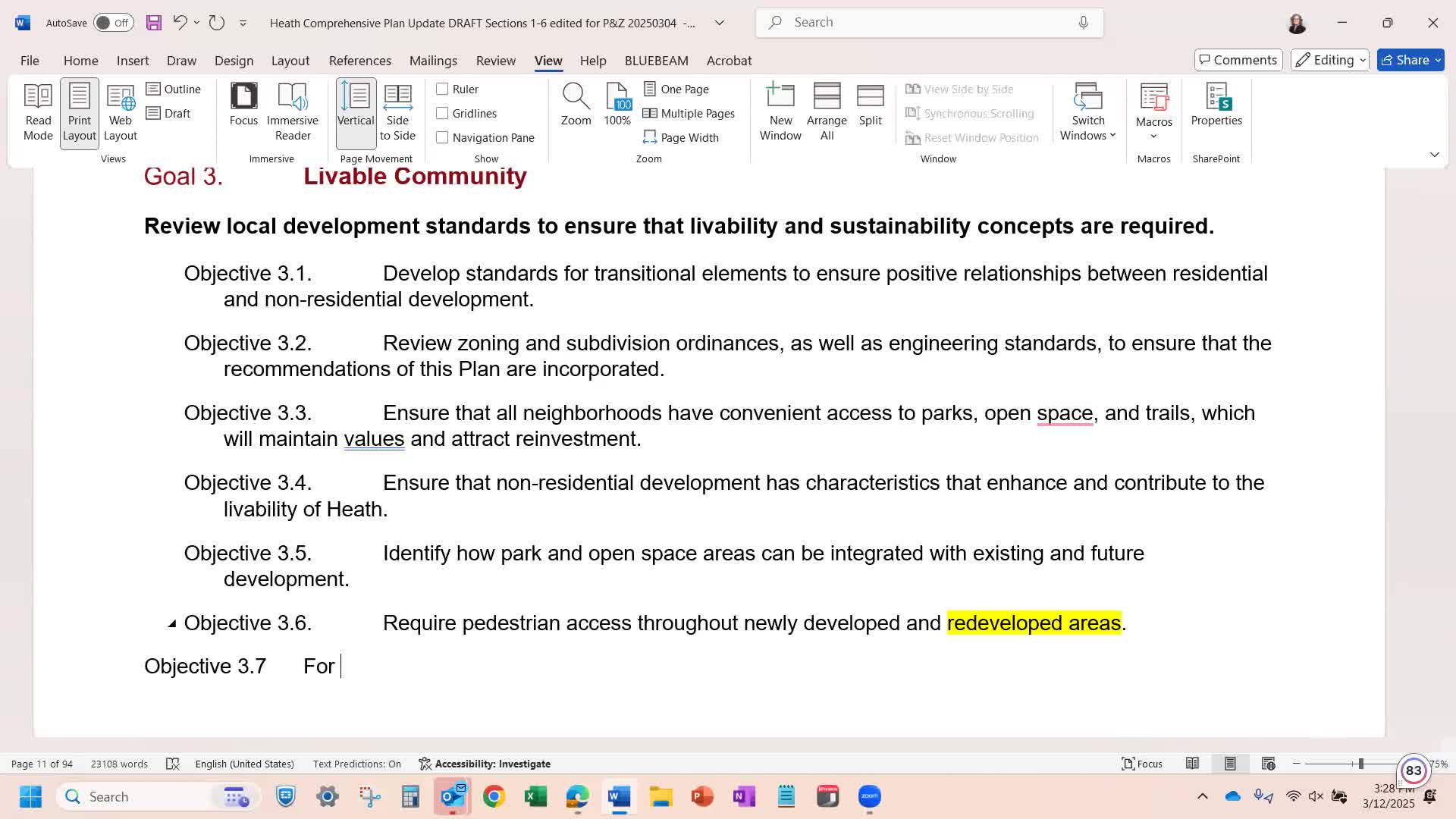
The committee recommended that the comprehensive plan explicitly acknowledge the city’s existing parkland-dedication ordinance and set expectations that new residential development provide parkland, trails and open space “proportionate to the parkland, trails and open space available to existing residents.” James (Steering Committee member) said the committee should “knit it into the comp plan” so the expectation is clear when staff and future applicants apply dedication requirements.
The discussion turned to numbers. A committee member who reviewed available land-area figures told the group the city’s total open-space accounting could exceed 1,000 acres once private recreation and HOA-open-space parcels are included, and estimated roughly 81,000 linear feet of existing trails. That participant said applying per-resident ratios would have required substantially more preserved acreage for a recent proposed subdivision than the developer had offered, and urged the city to adopt clear ratios to provide predictable outcomes when developers propose new housing.
Staff said they have a scope of work from a consultant to update the parkland-dedication ordinance and will bring a proposal to the parks board for consideration. David (City planning/GIS staff) told the committee the city’s GIS team is working to update acreage and map layers so the steering committee’s recommendations can be translated into ordinance language and the future-land-use map.
Committee members pressed for clarity about how different kinds of open space would count — for example, city-owned parks and public trails versus private golf course acreage or HOA open space that limits public access. The group emphasized that while all of those areas are “open space” in a mapping sense, they are not equally available to the public and that distinction matters when calculating dedication obligations.
Next steps: staff will continue to refine the inventory and provide a matrix that maps specific plan recommendations to implementation steps, including proposed numeric ratios for parkland and trail length per additional resident and a consultant scope for updating the parkland-dedication ordinance.
The committee set a goal of having a complete draft for review in April so the council can consider the plan in advance of the May election-related deadline.