Get Full Government Meeting Transcripts, Videos, & Alerts Forever!
Get email alerts on the General Plan topic
No spam. Unsubscribe anytime.
City staff outlines priorities for West Haven general plan: water element, transportation and updated GIS mapping
Summary
City planning staff told the commission the general plan must add a state‑required water element by year end, prioritize a land‑use update and transportation master plan, and aims to publish corrected zoning maps via a public GIS portal.
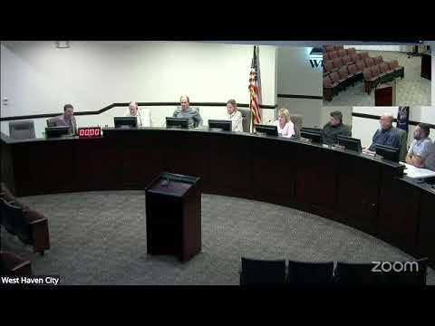
West Haven planning staff briefed the Planning Commission on priorities and timelines for an update to the city’s general plan, emphasizing a state requirement for a water element and the need for coordinated work on land use, transportation and public mapping tools.
Planning staff said the water element is newly required by state code and must be adopted before the end of the year to keep the general plan in compliance. The water element will compare current water use with projected use under the general plan, identify how land‑use choices affect water demand, and require coordination with five water districts and local canal companies that supply water within the city.
"We have to also measure how our water use impacts the Great Salt Lake," staff said, describing the element’s scope and the need to work with external water providers. Staff said Landmark Design, the consultant the city hired to lead the general plan update, has experience preparing water elements.
Commissioners and staff discussed options to reduce city workload by shifting some responsibilities to developers and water districts—for example, referencing Weber Basin resources and potentially requiring applicants to include water‑conservation design or training during subdivision or building applications. Staff also proposed creating a West Haven‑specific planting and landscape guide tailored to local standards.
Transportation was identified as the next major priority after land use. Staff said the city applied for a $100,000 grant through UDOT and the Wasatch Front Regional Council, with a minimum local match of roughly 6.7 percent, to fund a more robust transportation element and updated cross sections that would address roadway widths, bike lanes, and shared‑use paths. Staff said a grant decision is expected in a few weeks; if awarded, it would enable a broader, faster study.
Staff outlined public engagement plans that include a steering committee (recommended: two council members and two planning commissioners), multiple public outreach steps, and a joint session with the council and planning commission before a final draft is published. Staff said the city is preparing to publish corrected zoning and general‑plan layers via the city’s GIS portal so the public can view ordinance histories and map changes.
Commissioners and staff acknowledged the complexity of coordinating elements because West Haven relies on multiple water districts rather than a single municipal water provider. Staff said the city will proceed with the general plan process whether or not it wins the grant, but a grant award would accelerate and expand the work.
Staff noted past public comments and a 100‑page comment file received during prior outreach, and said the land‑use map remains a frequent concern among residents, especially in areas where earlier expectations of one‑acre lots have changed.
Staff said the planning commission will be kept informed as individual general plan elements start and will have opportunities to review and advise at multiple checkpoints. The commission did not make a formal vote on any general‑plan policy during the meeting.