N.H. DOT updates Hooksett on $20 million Route 3 widening, residents and businesses raise access and property concerns
Loading...
Summary
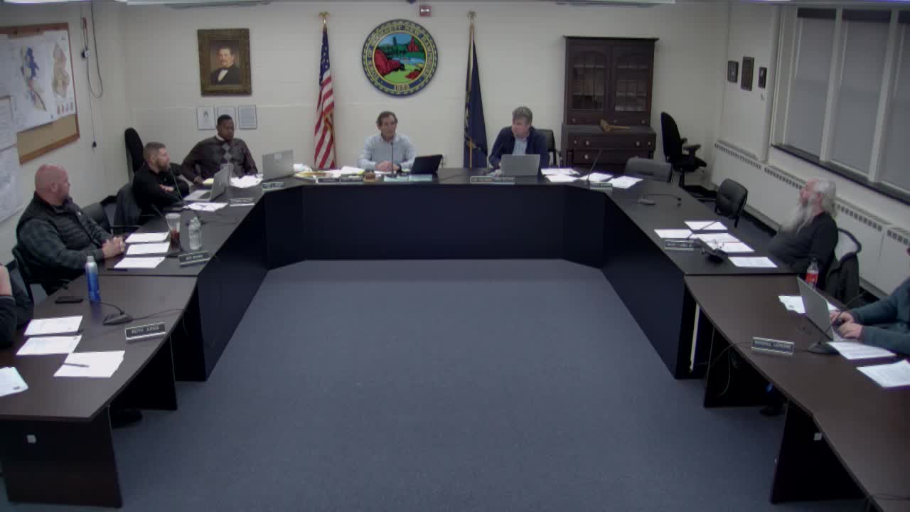
New Hampshire Department of Transportation officials gave the Hooksett Town Council an update March 12 on the Route 3 (Hooksett Road) improvement project between Alice Avenue and Martins Ferry Road, saying the preferred plan would widen the highway to five lanes, add sidewalks and bicycle shoulders, install new traffic signals at major intersections and require substantial right-of-way work.
New Hampshire Department of Transportation officials gave the Hooksett Town Council an update March 12 on the Route 3 (Hooksett Road) improvement project between Alice Avenue and Martins Ferry Road, saying the preferred plan would widen the highway to five lanes, add sidewalks and bicycle shoulders, install new traffic signals at major intersections and require substantial right-of-way work.
The project “is about filling the gap between the improvements to the south of Alice Avenue and then to match into those that are previously built to the north of Martins Ferry Road,” DOT presenter Dave Smith said, describing a roughly 1.4-mile corridor with an estimated construction cost “approximately $20,000,000 currently including inflation but excluding right of way.”
DOT and its design consultant described the current preferred alternative as two travel lanes in each direction with a center median or center turn lane, five-foot paved shoulders for bicyclists, six-foot sidewalks on both sides south of Mammoth Road and on the west side north of Mammoth, and raised median islands at selected locations to reduce unsafe turning movements. The plan replaces earlier consideration of roundabouts with traffic signals at Alice Avenue, Mammoth Road and Martins Ferry after local feedback and council direction.
Design consultant Lehi Cinczesco said the work will require extensive retaining walls and property impacts. “Due to the expansion of the roadway from 3 to 5 lanes we will need to construct approximately 2,000 feet of retaining walls to minimize impacts onto the adjacent properties and acquire at a minimum right of way strips or along most properties along the corridor,” he told the council.
Council members and attendees raised several specific concerns during a 90-minute Q&A: driveway access and parking for several small businesses, the height and safety of the retaining wall fronting Carrington Farms condominiums, how larger vehicles would navigate signals versus a roundabout, and the schedule and funding. DOT officials said the design team has met repeatedly with affected property owners and is trying to minimize business impacts; they estimated right-of-way acquisition and final design would take roughly three years (2025–2028) and construction would begin around 2028, with federal and state funding expected under an 80/20 federal/state split.
Steve Lawrence, owner of Pro Technologies, said the proposal could render his building unusable by eliminating frontage parking and creating a steeper driveway. “Wewere clearly told that you are likely going to lose your building,” Lawrence said. He asked specifically what would happen at the April 3 public hearing and whether the hearing itself would trigger right-of-way offers; DOT staff said the April 3 meeting is a formal public hearing before a three-person state commission to determine a finding of necessity and to record public testimony, after which the department will prepare responses and proceed into final design and right-of-way acquisition.
DOT representatives said they will continue individual outreach with property owners and noted some mitigation options. For example, they described a retaining wall on the Carrington Farms frontage that would range from roughly 4 to 15 feet high and include a pedestrian safety fence at the top; DOT said the wall would likely increase usable land at the top of the slope for the condo association.
Project schedule highlights given to the council: public hearing targeted April 3 in the council chambers; environmental documentation and final design during 2025–2028; right-of-way acquisition led by NHDOTRight-of-Way Bureau across dozens of properties; and construction anticipated to take roughly three years once funded and permitted. The DOT said it will maintain outreach and assign construction administrators to minimize business disruptions during construction.
The DOT and consultant materials presented March 12 include detailed maps of proposed median islands, sidewalks, detention basins and a hydraulic analysis for Messer Brook. Officials said they will post formal hearing documents and plans for the April 3 public hearing and will continue to meet with owners such as Pro Technologies to explore driveway design alternatives meant to keep businesses functional.
For background, the DOT said this segment is intended to close an improved corridor gap, address recurring backups, and improve bicycle and pedestrian facilities; however, several councilors pressed DOT on downstream impacts where the wider Route 3 narrows to fewer lanes outside the project limits, which DOT said has not been subject to the same study and could be a future segment for upgrades.
DOT staff asked anyone with property-level concerns to participate in the April 3 hearing and to contact project staff for follow-up meetings.
The council did not take any formal vote on the project at the March 12 meeting; DOT will return for the April 3 hearing and subsequent right-of-way work.