Get Full Government Meeting Transcripts, Videos, & Alerts Forever!
Council approves land-use map amendment and rezoning for 1603 Smearl Drive to permit single-family home
Summary
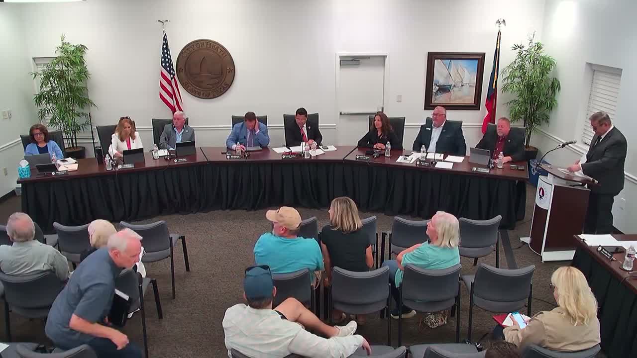
The Heath City Council approved a change to the future land use map and a rezoning for a 3.766-acre parcel at 1603 Smearl Drive, clearing the way for a single-family home (SF-43). Planning staff and the planning commission recommended approval; the council voted unanimously.
The Heath City Council unanimously approved two companion actions on May 27 to amend the future land use map and rezone a 3.766-acre parcel at 1603 Smearl Drive to SF-43 single-family residential, permitting construction of a single-family home.
City planner Sam Gonzales explained the property previously carried mixed designations on the 2018 comprehensive-plan future land-use map (local retail and medium-density residential, the latter tied to an obsolete SF-22 district). Gonzales said the amendment aligns the map with…
Already have an account? Log in
Subscribe to keep reading
Unlock the rest of this article — and every article on Citizen Portal.
- Unlimited articles
- AI-powered breakdowns of topics, speakers, decisions, and budgets
- Instant alerts when your location has a new meeting
- Follow topics and more locations
- 1,000 AI Insights / month, plus AI Chat