Get Full Government Meeting Transcripts, Videos, & Alerts Forever!
Get email alerts on the Rezoning 1603 Smearl topic
No spam. Unsubscribe anytime.
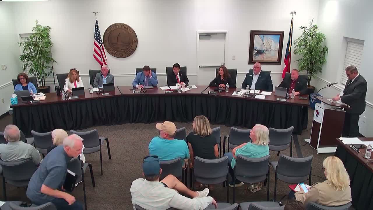
Council approves land-use map amendment and rezoning for 1603 Smearl Drive to permit single-family home
Summary
The Heath City Council approved a change to the future land use map and a rezoning for a 3.766-acre parcel at 1603 Smearl Drive, clearing the way for a single-family home (SF-43). Planning staff and the planning commission recommended approval; the council voted unanimously.
The Heath City Council unanimously approved two companion actions on May 27 to amend the future land use map and rezone a 3.766-acre parcel at 1603 Smearl Drive to SF-43 single-family residential, permitting construction of a single-family home.
City planner Sam Gonzales explained the property previously carried mixed designations on the 2018 comprehensive-plan future land-use map (local retail and medium-density residential, the latter tied to an obsolete SF-22 district). Gonzales said the amendment aligns the map with the applicant—s request to rezone the property to SF-43 and that the Planning & Zoning Commission reviewed the cases and recommended approval.
Applicant Steven Doty, who identified himself as the property owner, answered council questions about access and said the private drive on the parcel is part of the property. Doty and staff said the applicant plans a single-story home of about 5,000 square feet that meets the technical requirements for SF-43 zoning.
Both items drew little public comment; the council opened and closed the public hearings with no speakers on the rezoning case. Council members who spoke on the record praised the applicant—s proposal and the property—s scale and tree cover.
Action: The council first approved an amendment to the future land use map (case ZA2025-02) and then approved the zoning change (case ZA2025-03) to SF-43. Both motions passed unanimously by voice vote after seconding. The motion language on the zoning change case noted the parcel is a 3.766-acre lot and that the rezoning will allow a single-family home to be constructed on the site; the record shows a second by Councilman Myers on the map amendment and a second by Councilman Umby on the rezoning motion when it was moved later in the agenda.
Staff noted the parcel contains substantial tree cover and a private access drive; the applicant stated an existing home on the lot was being demolished and a new single-story, roughly 5,000-square-foot home is planned. Planning staff confirmed the application meets the city—s technical compliance matrix for the requested SF-43 zoning.