Get Full Government Meeting Transcripts, Videos, & Alerts Forever!
Get email alerts on the Transportation Roads topic
No spam. Unsubscribe anytime.
Mat‑Su planners, DOT and consultant outline Bogard‑Selden access‑management plan after wide public input
Summary
Mat‑Su Borough planning staff and their consultant presented the draft Bogard‑Selden Corridor Access Management Plan on March 11, proposing frontage roads, driveway consolidations and turn‑lane additions to reduce crashes and improve traffic flow on a corridor that carries roughly 12,000 vehicles per day in places and drew nearly 250 public comments.
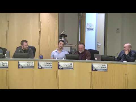
Mat‑Su Borough planning staff and their consultant presented the draft Bogard‑Selden Corridor Access Management Plan to a joint meeting of the borough assembly and planning commission on March 11, proposing frontage roads, driveway consolidations, new turn lanes and other access controls aimed at reducing crashes and improving traffic flow on the growing east–west corridor.
The plan focuses on six segments of Bogard‑Selden and identifies a mix of changes — including new frontage roads on the north side of Selden, removal or consolidation of direct driveways in some sections, an eastbound right‑turn lane at Larson Elementary Circle and realignment of North Snow Goose Drive to line up with Hematite Drive — that the project team says are meant to reduce the number of conflict points along the corridor. Laurie Cummings, HDR’s project lead, summarized the plan’s goal: “A common question people ask is, what is access management? And the simple answer is, it's a tool that we can use to look at how to reduce crashes and improve traffic flow on a road.”
Why it matters: the corridor carries substantial commuter traffic today and is expected to carry more as the Mat‑Su area develops. Alaska DOT planner Adam Bradway told the assembly that “the highest volume of Bogard, which is right there where the new gravel pit is gonna be, is about 12,000 cars a day right now,” and project materials and staff noted traffic could rise substantially over the next one to two decades.
What changed from the draft: planning staff and HDR said the team received nearly 250 comments during two public review periods and revised the draft in response. Notable changes included removing a proposed connection between Sam’s Drive and North Charlie Drive, adding a frontage road on the north side of Selden between Caribou and Moose, modifying access points on the north side of Bogard to align with Cottage Hill Drive, and adding an eastbound right‑turn lane at Larson Elementary Circle.
Right‑of‑way, cost and timing: several assembly members pressed staff on how the borough would acquire rights of way and pay for the frontage roads and other changes. Alex Traun, Mat‑Su planning and land use director, said the CAMP is a planning‑level document and “we did not analyze whether we have rights of way or not. That's gonna be something that has to be determined... when they're actually designing and building the project.” Public Works Director Tom Adams cited one developer, South Colony, that already reconfigured a subdivision to accommodate frontage‑road concepts from the plan, and said the plan can be used to guide developers and avoid problematic access patterns in future plats.
Implementation and next steps: Traun told the bodies the plan will be finalized into an adoption draft and is scheduled to go to the planning commission and then the assembly within the next month or two. Staff emphasized the plan is a long‑range vision: projects will be refined during design, may require additional right‑of‑way and funding, and likely will be implemented over many years as individual reconstruction or new construction projects advance.
Community outreach: HDR and borough staff described a robust outreach program that included mailers to property owners within a half‑mile of the corridor, an open house, ten community council and stakeholder meetings, targeted mailings to affected property owners, social media ads and site visits. The team said 14 section‑line easements were considered in the plan and that outreach shaped several of the revisions.
What remains unresolved: staff and the consultant noted that several recommendations — especially frontage roads that may affect private property — will require further engineering, right‑of‑way analysis and negotiations with property owners. Assembly members raised the possibility of setting aside funds or using other tools for advanced right‑of‑way acquisition, but staff said those options are limited by the borough’s road authority and funding constraints.
The borough’s project website and the planning department staffer on the project were identified as contacts for questions and continued comment as the plan moves toward formal consideration.