Grass Valley staff review new state wildfire hazard maps, ask public for input
Get AI-powered insights, summaries, and transcripts
Sign Up Free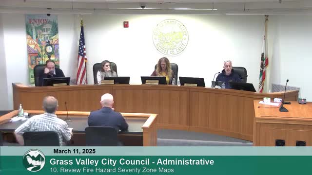
Summary
City staff and fire officials briefed the City Council on updated Local Responsibility Area (LRA) fire hazard severity maps from the Office of the State Fire Marshal (CAL FIRE), outlined a timeline for adoption, and urged residents to submit comments to firesafety@cityofgrassvalley.com.
City of Grass Valley fire officials presented updated Local Responsibility Area (LRA) fire hazard severity maps from the Office of the State Fire Marshal (CAL FIRE) at a March council meeting and asked residents to review maps online and submit comments to firesafety@cityofgrassvalley.com.
The maps, staff said, show potential hazard levels across the city and are based on fuel loading, slope, fire weather history and wind patterns. "The maps indicate potential hazard, not immediate risk, and do not account for mitigation efforts or fire resistant construction," Fire Chief Mark Butryn said during the presentation. He and Community Risk Reduction Manager Dwayne Strauser said the maps will help prioritize mitigation and grant-seeking but cannot be used by local agencies to lower a designation assigned by the state.
Why this matters: the designations can affect grant eligibility for mitigation work, and residents asked whether higher designations could influence insurance rates and other costs. "The positive of these higher designations is they do qualify us and portions of our community...for grant funding to mitigate that," Strauser said, noting the designations also prompt public concern about insurance availability and cost.
City staff outlined state timelines and local next steps. Per staff, the city must provide a public forum and return local comments to the state within 30 days of receiving the maps; adopt an ordinance within 120 days; and submit that ordinance to the state within 30 days of adoption. Staff said they have created a dedicated email (firesafety@cityofgrassvalley.com) and posted interactive maps and resources on the city website. "If we were to receive a lot of public input...we do have the ability to set up a separate town hall meeting," Butryn said.
Council members asked about why downtown showed lower vegetation-related hazard in the model, whether household- and neighborhood-level mitigation could change designations over time and how infrastructure projects such as Spaulding Dam repairs might affect long-term risk. Strauser said the model focuses on vegetation and the wildland-urban interface, not typical urban structure-to-structure fire spread, and that reassessments could reflect community mitigation if scientific evidence shows reduced risk.
Public commenters raised related concerns during the same agenda item, including neighborhood organizing for defensible space, the presence of homeless encampments and pile burns near neighborhoods, and local water supply and hydrant pressure as a factor in fire response. One resident noted conversations with Pacific Gas & Electric and the Nevada Irrigation District over water- and infrastructure-related constraints; staff said they are meeting with regional partners.
No formal council action was required; staff described the briefing as an administrative item and asked the public to comment through the dedicated email address or the city website. Council members encouraged residents to provide detailed input so staff can forward public comment to the state as required.
Staff and council provided these practical contact points and next steps: residents can view the interactive maps on the City of Grass Valley website and submit comments to firesafety@cityofgrassvalley.com. Staff said they will monitor input and may schedule additional public education or a town-hall style meeting if substantial interest is received.
Ending: The city will continue to accept public comment through the dedicated email and plans follow-up briefings as needed. Staff emphasized the maps are a living document and that sustained, collective mitigation efforts at the neighborhood scale may support requests to CAL FIRE for future designation changes.