Get Full Government Meeting Transcripts, Videos, & Alerts Forever!
Get email alerts on the Development Review topic
No spam. Unsubscribe anytime.
Commission questions Churchill East plat: staff clarifies ownership, TIA status and build‑out timeline
Summary
Staff told the Planning and Zoning Commission that Churchill East (PP252) is partly in Denton’s extraterritorial jurisdiction, borders Ponder’s ETJ and the west portion (Churchill West) is also owned by the same developer; a traffic impact analysis is under review and city staff said Denton’s portion has a 10–12 year build‑out.
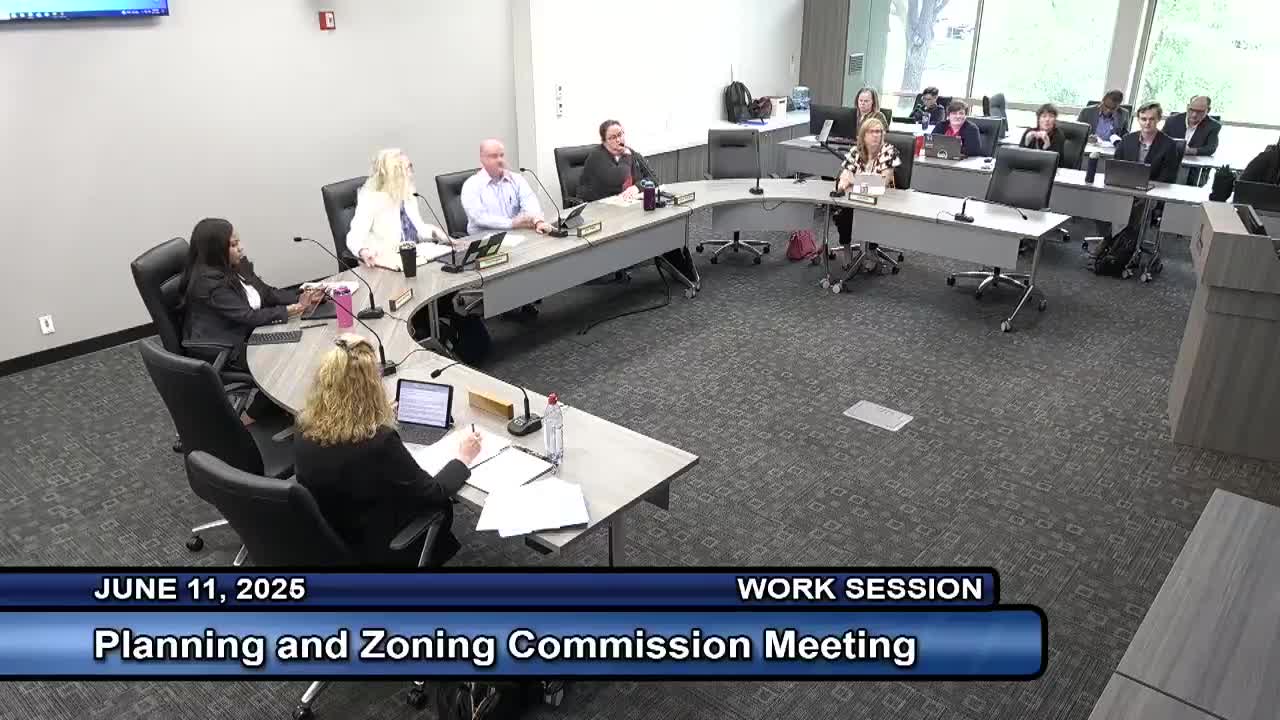
During the June 11 meeting the Planning and Zoning Commission asked staff to clarify details on PP252 (Churchill East), a plat in Denton’s extraterritorial jurisdiction (ETJ). Ashley Exstead, associate planner, answered commissioners’ questions about ownership, road connections, traffic analysis and schedule.
Exstead said the property to the west is owned by the same developer and will be called Churchill West; both tracts will be developed though the parts in Denton’s ETJ and Ponder’s ETJ are handled by the respective jurisdictions. She said the subject property is about 3 miles from the “future loop” as shown in the plan materials and that a traffic impact analysis (TIA) is currently under review. "Their TIA is under review now, so it's not approved yet. But in that TIA, they do discuss reconfiguring certain roads, constructing turn lanes at certain roads, installing traffic signals eventually," Exstead told the commission.
On timing, Exstead said the Denton side has a projected 10–12 year build‑out. Commissioners also raised notification and outreach: staff described the city’s notice program (letters to property owners within 200 feet and postcards to utility customers for a broader mailing). For this site staff said only a small number of nearby parcels are developed, and that five property notifications appeared in the record because many surrounding parcels are undeveloped.
Commissioner Dyer asked for the visual clarifications and noted the property appeared landlocked until the commission reviewed the plat and adjacent properties. The item remained on the consent agenda; staff offered to work with commissioners on minor edits to minutes and to return corrected minutes at a later meeting.
No formal action was taken on the plat at the work‑session discussion beyond confirming staff would continue to process the application and that staff had no objection to the consent‑agenda handling if commissioners had no further questions.