Get Full Government Meeting Transcripts, Videos, & Alerts Forever!
Get email alerts on the Local Coastal Program topic
No spam. Unsubscribe anytime.
Pacific Grove council adopts coastal-hazards updates after Coastal Commission certification
Summary
Council acknowledged Coastal Commission certification and approved adopting LCP amendments updating coastal-hazard mapping, finding the amendments statutorily exempt from CEQA and voting unanimously.
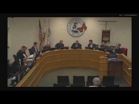
The Pacific Grove City Council on May 21 approved technical amendments to the city’s Local Coastal Program (LCP) to incorporate updated coastal-hazard analysis and mapping, following certification by the California Coastal Commission.
City staff told the council the LCP amendments implement updated technical analysis and tools to determine coastal-hazard vulnerability. The effort began in 2022 with council direction and Coastal Commission grant funding; the Planning Commission initiated the amendments in October 2024 and the Coastal Commission certified the amendments on April 11, 2025.
At the meeting staff recommended the council acknowledge receipt of the Coastal Commission certification, find the amendments statutorily exempt from the California Environmental Quality Act (CEQA), read the title of the proposed ordinance, introduce and hold the first reading of the ordinance and direct publication of a summary. Council moved through the remaining actions together: a motion to approve findings and a motion to approve the resolution and ordinance passed unanimously 7-0.
Council members asked staff clarifying questions about how the updated GIS hazard layers would be made available to the public. Staff said the city’s community-development website will host an interactive parcel-level map after the GIS shape layers are added, likely a couple of weeks after council approval.
Votes and procedure: The council took a sequence of steps consistent with LCP adoption practice — acknowledging Coastal Commission certification, making CEQA determinations, reading titles and introducing ordinance language — then approved the resolution and ordinance readings by unanimous vote (7-0).
Ending: Staff said the GIS layers incorporating the updated coastal-hazard data will be added to the city’s online parcel viewer shortly after the ordinance process is completed, allowing residents to check parcel-specific hazard information online.