Get Full Government Meeting Transcripts, Videos, & Alerts Forever!
Get email alerts on the Downtown Accessibility topic
No spam. Unsubscribe anytime.
Walled Lake reviews preliminary downtown plan to meet ADA findings, widen sidewalks and add streetscape
Summary
Consultants presented two engineering options to address a federal ADA finding for East Walled Lake Drive and proposed streetscape upgrades including accessible parking, planters, lighting and stormwater changes. Council asked for cost estimates and county coordination before final decisions.
Consultants from Boss Engineering on Tuesday presented preliminary designs aimed at bringing downtown Walled Lake into compliance with a federal accessibility finding and at the same time making the corridor more inviting for pedestrians.
The presentation focused on the first block of East Walled Lake Drive between Pontiac Trail and Liberty Street, where the Federal Highway Administration and a Department of Justice review found accessible crossings, accessible parking and pedestrian routes out of compliance. Brad (Boss Engineering) and landscape architect Patrick Cleary described two engineering options, streetscape features and next steps; no council decisions were expected at the meeting.
The draft designs responded directly to the federal finding by proposing accessible parking and routes that link parking to building entrances without the existing steps and problematic cross slopes. Option 1 places accessible stalls midblock with a flat landing and a long “ramp ramp” (a sloped sidewalk segment) requiring handrails and taller retaining walls; consultants warned that would narrow the sidewalk and could create visual barriers in front of businesses. Option 2 shifts accessible stalls toward the Liberty Street end, uses a 2-foot terrace/paved circulation band adjacent to buildings, and replaces railings with low planters and small steps spaced perpendicular to building entrances—an approach consultants said preserves a wider sidewalk and reduces the need for tall railings.
"No decisions to be made tonight," Cleary told council, adding that the team was presenting engineering constraints, accessibility requirements and streetscape options so council members could provide direction. He also noted a new accessibility guidance, PROWAG, that became enforceable in January and clarifies accessible parking and routes for downtowns where public on-street parking functions as the accessible route to businesses.
Consultants described other elements under consideration: replacing or repositioning two trees near the Pontiac Trail intersection with smaller ornamental trees, adding linear planting areas and low-profile fencing or posts to protect plantings, municipal-grade benches and trash receptacles, different crosswalk surface treatments including thermoplastic patterns, and upgraded LED lighting assemblies to improve pedestrian illumination while accommodating overhead utility constraints.
Consultants said they had identified one historic coal chute within the study area and had engaged a structural engineer to evaluate it. They also said some catch basins will be relocated and other stormwater adjustments will be needed as grades are changed to reconcile building floor elevations, parking slopes and accessible routes.
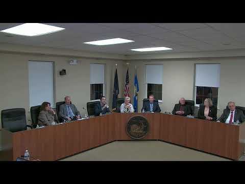
Council members pressed for cost and schedule detail. One council member asked when the council would see cost estimates; consultants said they were still at the preliminary concept stage but could supply cost estimates for a future meeting if the city manager requested them. Mayor Ackley stressed that the council will decide the final scope and that cost estimates and formal bids can only be developed after the council selects a concept.
Consultants noted coordination will be required with Oakland County at the Pontiac Trail intersection because some of the accessibility findings and required changes overlap county-owned infrastructure.
What happens next: Boss Engineering will refine the preferred concept and develop a conceptual plan for the remainder of the corridor to Hillcroft. The council and staff will consider consultant input, ask follow-up questions, and direct whether to request cost estimates and a phased schedule for adoption at a later meeting.
"If the city manager wants us to go that route, we will — we can try to get some numbers," Brad said when a council member emphasized the need for projected costs.
Ending: Council members generally favored Option 2 in the discussion, asking staff to return with additional information about liability and maintenance, bicycle and pedestrian accommodations (including potential bike parking), and explicit cost estimates and timeline options before the council votes on a final design.