Get Full Government Meeting Transcripts, Videos, & Alerts Forever!
Get email alerts on the Land Use Rezoning topic
No spam. Unsubscribe anytime.
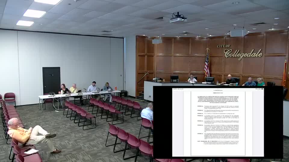
Commission hears rezoning request for 32-acre site at 10419 Lee Highway; first reading of ordinances 11-61 and 11-62
Summary
City staff and the applicant presented a request to rezone roughly 32 acres at 10419 Lee Highway to R1H with a planned unit development overlay to permit a 102-lot subdivision; the commission heard the first reading of Ordinances 11-61 and 11-62.
The Collegedale City Commission held a first reading and public presentation of Ordinances 11-61 and 11-62, a rezoning request to change roughly 32 acres at 10419 Lee Highway to high-density single-family residential (R1H) with a planned unit development (PUD) overlay to allow a proposed 102-lot subdivision.
Mr. Allen, presenting the applicant’s request, said the subject property “encompasses approximately 32 acres, which consists of 25 acres currently without a zoning destination and 7 acres zone shopping center commercial or C2.” He described the proposal as a 102-lot single-family subdivision with one community lot and amenities, accessed from Lee Highway and bounded to the north by White Oak Valley Circle.
Allen said the applicant previously filed a similar proposal for 111 lots in late 2023; that earlier rezoning request was denied after annexation left part of the site unzoned under Tennessee law. The current application returned to the planning commission as zoning case 2020-53 and received a recommendation for approval after the applicant withdrew an earlier submittal to expand the northern buffer and then agreed to a revised plan.
As part of revisions, the applicant acquired a roughly 4,100-square-foot parcel identified as a portion of Hamilton County parcel 12F3083.11, addressed near 6323 Red Oak Valley Circle, and deeded that piece “for use exclusively as a natural or planted buffer, with allowances for utility easement as necessary,” according to materials included in the packet. The applicant agreed to a 50-foot buffer along the site’s northern boundary to address privacy and visual-impact concerns raised by nearby residents.
Allen described adjacent land uses: agriculture in Hamilton County to the north and east, shopping-center commercial (C2) to the south and parts of the west, and single-family houses off Bridal Valley Circle to the north. The applicant’s site plan shown to the commission included amenities, pathways and basins, and Allen said the proposal meets density and setback requirements for R1H.
The presentation tied Ordinances 11-61 and 11-62 together for the commission’s consideration; the case will return for further review and final action at a subsequent meeting. No final rezoning vote was recorded during this session; commissioners asked clarifying questions and received the presentation from staff and the applicant’s representative.
Proper names and references in the packet included the tax parcel 132045.02 and the address 10419 Lee Highway; the materials also referenced a planning commission recommendation under case 2020-53 and an earlier case (2020-52) from April 14, 2025. The commission moved on to other business after the first-reading presentation.