Get Full Government Meeting Transcripts, Videos, & Alerts Forever!
Get email alerts on the Official Map Amendment topic
No spam. Unsubscribe anytime.
Oak Creek council removes mapped unimproved right-of-way to allow four-lot subdivision at West Oakwood Road
Summary
The council approved an official map amendment removing a short east–west unimproved right-of-way on property at 2028 R West Oakwood Road so the owner may reconfigure the parcel into four future single-family lots; neighbors raised drainage and road-width concerns but staff said those issues will be addressed at the plat stage.
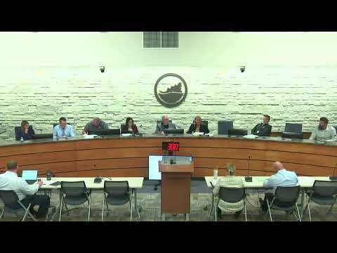
The Oak Creek Common Council on May 20 approved an amendment to the city’s official map removing a small mapped but unimproved east–west right-of-way affecting the property at 2028 R West Oakwood Road, a 7.8-acre parcel owned by Mark and Kim Verhalen.
City staff described the official map line as an illustrative street pattern carried in the municipal map for decades; removing the short east–west leg would allow the owner to shift lot lines and create four future single-family lots through a certified survey map and future platting process.
Applicant presentation and planning commission: Mark Verhalen told the council he intends to create four lots and has worked with adjacent owners to adjust property lines; Christie Lane, community development director, said neighbors submitted letters of support and the Planning Commission recommended approval at its April 22 meeting.
Neighbor concerns: Wayne Majeski, a nearby resident of South Judith Place, told the council of recurring drainage and sump-pump issues along Judith Place and asked where new development runoff would drain. The mayor and staff responded that the official-map amendment only removes the mapped right-of-way and that drainage and road-construction questions are addressed when a formal certified survey map and plat are filed and reviewed by city engineering and planning staff.
Council action: After the staff presentation and applicant remarks, the council voted on the ordinance amending map and removing the unimproved right-of-way; roll call recorded approval. No additional conditions were placed on the map amendment itself; staff and the applicant said infrastructure, drainage and any required road work will be reviewed and conditioned when the owner files the future certified survey map and any subdivision or development applications.
Why it matters: Removing the mapped leg clears a local technical barrier to subdividing the 7.8-acre parcel. Residents' comments during the public hearing noted existing localized drainage issues and the narrow width of Judith Place (approximately 15 feet), which the council and staff said will be addressed through engineering review at the plat and site-plan stage.
Ending: The amendment changes only the official map designation; any physical roadway construction, platting, stormwater work, and required public-improvement agreements remain subject to later review and permit approvals.