Get Full Government Meeting Transcripts, Videos, & Alerts Forever!
Get email alerts on the Urban Design Uptown Monterey topic
No spam. Unsubscribe anytime.
Cal Poly graduate studio presents ‘Uptown’ concept for Upper Monterey corridor; city staff to review ideas
Summary
Cal Poly graduate students presented a conceptual ‘Uptown’ plan for Upper Monterey Street that pairs short‑term, low‑cost pilots with longer‑term housing, transit and placemaking proposals to improve walkability and add workforce housing.
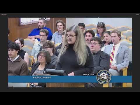
A Cal Poly City and Regional Planning graduate studio presented a conceptual “Uptown” plan for the Upper Monterey Street corridor on May 28 that recommends a mix of short‑term tactical improvements and longer‑term zoning and infrastructure changes to increase housing, improve walkability and create a distinct corridor identity.
The student team, working across five themed subareas, proposed roughly 225 new housing units in a graded pattern of density, new public plazas and “pop courts,” a transit hub, protected bike lanes, curbside and intersection traffic-calming measures, and a phased implementation plan that begins with low‑cost pilots and progresses to larger infrastructure projects. Commissioners and staff praised the presentation and encouraged further study; staff said the students’ full report will be submitted to the city for review and inclusion in future planning discussions.
The studio’s analysis combined demographic research, 44 stakeholder interviews with businesses and residents, and a corridor SWOT analysis. Students proposed a five‑node strategy that concentrates the highest density near transit and civic anchors and adds housing typologies described as “missing‑middle” and small efficiency units appropriate for recent graduates, young professionals and faculty. Proposed short‑term tactics include decorative crosswalks, movable parklets, pop‑up seating and improved lighting under the Union Pacific overpass. Medium‑term projects included a new transit plaza and workforce housing; long‑term ideas included a creek trail linking downtown to regional parks and a multistory parking structure to replace surface lots.
Student design teams described neighborhood‑specific ideas: a government quarter mid‑block pedestrian corridor linking a proposed transit center and future courthouse; an arts district with underpass lighting, crosswalk art and a “pop court” in a private parking lot to host events; “Frank’s Corner” plaza conversion at a popular local hot‑dog stand and faculty‑targeted housing near Haslow; a Cal Poly gateway district featuring a veterans‑memorial plaza, a proposed grocery-anchored mixed‑use site, and a Slough Creek Trail; and a northern gateway concept centered on revitalizing the historic Motel Inn into a visitor center with trolley turnaround.
Commissioners praised the students’ work and emphasized that the plan is conceptual. Several commissioners noted constraints — right‑of‑way widths, emergency access, bus operations, Union Pacific ownership of the overpass, and the cost and complexity of land acquisition — and recommended the city explore short‑term pilots (temporary plazas or parklets) before committing to large capital projects. Deputy Community Development Director Corey said the student work is timely and will be added to the city’s records; he identified a June 2026 work‑program study session on livability and code‑enforcement priorities where related issues may reappear.
Professor Hema Dandekar and the students said they will compile a written report and deliverables; staff and commissioners encouraged continued collaboration between the university studio and city planning staff. The students’ presentation and model visuals will be archived with the meeting record; staff said pilot ideas and zoning-change proposals will require more refined feasibility studies and public engagement before formal action.