Get Full Government Meeting Transcripts, Videos, & Alerts Forever!
Get email alerts on the Land Use Annexation topic
No spam. Unsubscribe anytime.
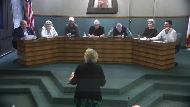
Planning commission recommends annexation and rezoning for Nature Creek Reserve housing development
Summary
The Decatur Planning and Zoning Commission voted to recommend city council approve the voluntary annexation, comprehensive plan amendment and planned-development rezoning for a single‑family subdivision called Nature Creek Reserve by Libertas Decatur LP.
The Decatur Planning and Zoning Commission on March 2025 recommended that city council approve a three‑part application by Libertas Decatur LP — an annexation, a comprehensive plan amendment and a planned‑development rezoning — for a single‑family subdivision branded Nature Creek Reserve.
Planning Director Lisa Hannon entered the staff reports into the record and told the commission the annexation application covers approximately 25.3262 acres, plus about 0.96 acres of right‑of‑way along North U.S. Highway 81287, and lies in Decatur’s extraterritorial jurisdiction. “This is going to be the first of 3 applications by Libertas Decatur LP, also known as Nature Creek Reserve,” Hannon said.
Staff said the property is contiguous to city limits, would not create an enclave and is currently not served by city water or wastewater; utility improvements are required. Hannon recommended approval of the annexation, the comprehensive plan amendment (CP‑2024‑01) to a Traditional Neighborhood land use, and the plan‑development rezoning (PD‑2024‑01) that would allow single‑family detached homes in a mix of lot sizes.
Developer representatives described the project as single‑family only. Land planner Helen Eve Beetle said the development will include trails, a playscape, a dog park, preservation of an existing lake and wooded flood plain, and that the project has two points of ingress. She said the developer and the city recently executed a development agreement and noted planned public improvements: a new lift station, a 24‑inch force main and extensions of water to serve the site. “The development has two points of ingress,” Beetle said, adding the project is coordinating with the city on utilities.
The planned development proposes three lot types: Type 1 at about 5,000 square feet (roughly 95 lots), Type 2 at about 6,000 square feet (roughly 375 lots) and larger lots ranging from roughly 9,000 to 24,000 square feet (about 23 lots). Applicant materials show an average lot size of about 7,600 square feet. The applicant said common‑area amenities will be privately owned and maintained by a homeowners association.
One written response in opposition was received and shown to the commission; staff said it represented about 0.1% of the affected property owners and cited concerns that local streets could not handle increased traffic and that smaller lots were being allowed. Commissioners questioned lot sizes, how the application interacts with recent zoning amendments, and whether smaller lots backing up to the railroad right‑of‑way would face noise issues. Developer representatives said they plan to pursue a “quiet crossing” with the railroad and expect retaining walls and tree preservation to lessen visual impacts; a representative noted the creek and flood plain separate portions of the site from an adjacent park.
Commissioners moved formally to recommend annexation (item A‑2024‑01), the comprehensive plan amendment CP‑2024‑01, and the planned‑development rezoning PD‑2024‑01 to city council; each motion carried with all members present voting aye. Staff recommended the items for approval and will forward the commission’s recommendations to city council for a final decision.
If city council approves the annexation and zoning, the developer’s next steps include final engineering for the public‑improvement work (lift station, force main and water extensions) and subdivision platting under the PD. The commission record showed the development team and staff will continue coordinating on civil engineering and tree‑survey requirements.