Get Full Government Meeting Transcripts, Videos, & Alerts Forever!
La Habra adopts first reading to designate fire-hazard severity zones following CAL FIRE maps
Summary
Following release of CAL FIRE's 2025 maps, the council unanimously approved on first reading an ordinance designating fire hazard severity zones in La Habra, identifying portions of North Hills and the city's southern border adjacent to West Coyote Hills as higher-risk areas.
The La Habra City Council voted unanimously July 21 to approve on first reading an ordinance designating fire hazard severity zones in the city based on the California Department of Forestry and Fire Protection's (CAL FIRE) 2025 maps.
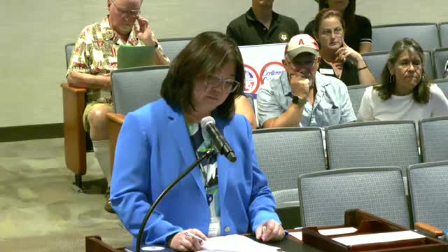
A city staff member reported that CAL FIRE and the State Fire Marshal updated fire-hazard severity zone maps for local responsibility areas and that state law (Assembly Bill 211) requires local governments to adopt the maps by ordinance. "The purpose…
Already have an account? Log in
Subscribe to keep reading
Unlock the rest of this article — and every article on Citizen Portal.
- Unlimited articles
- AI-powered breakdowns of topics, speakers, decisions, and budgets
- Instant alerts when your location has a new meeting
- Follow topics and more locations
- 1,000 AI Insights / month, plus AI Chat