Get Full Government Meeting Transcripts, Videos, & Alerts Forever!
Get email alerts on the Land Use Subdivisions topic
No spam. Unsubscribe anytime.
Supervisors approve subdivision maps and a short extension amid neighbors’ safety concerns
Summary
The Board approved a three-month extension for a tentative map, two final subdivision maps and addressed neighbor concerns about ingress and egress; two votes on subdivision maps recorded 4–1 tallies with Supervisor White opposed on two items; another final map (Border Crossing) passed unanimously after discussion of traffic mitigations.
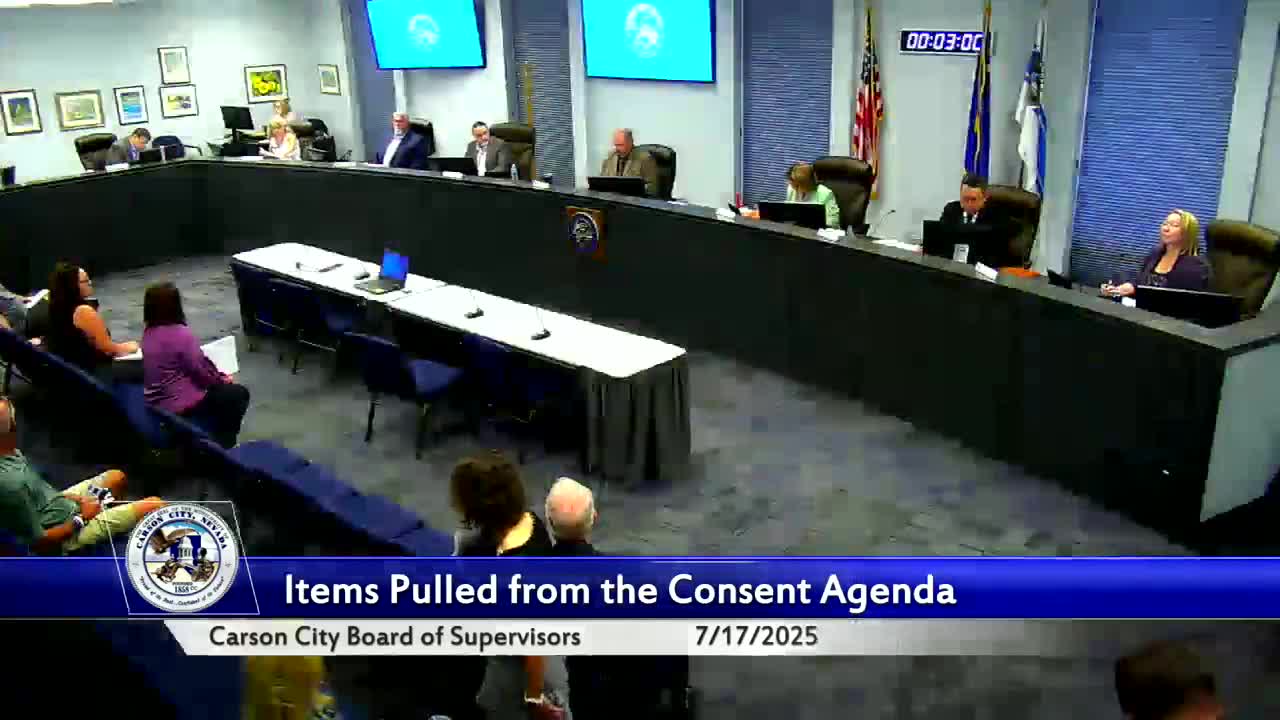
The Carson City Board of Supervisors approved a set of land-use items Wednesday, including a three-month extension of a tentative subdivision map, approval of a final subdivision map for AMH’s NV Seventeen development and approval of the Border Crossing final subdivision map. Two approvals recorded 4–1 votes, with Supervisor White dissenting on two items; the Border Crossing final map was approved unanimously after staff explained traffic mitigations.
On agenda item 9A, staff recommended and the board approved a three-month extension of time for a tentative map, extending the deadline to Oct. 18, 2025. The motion passed with a 4–1 vote: four ayes and Supervisor White voting no.
Agenda item 9B — the final subdivision map for AMH’s NV Seventeen development — was approved by the board on a 4–1 vote; Supervisor White recorded the lone no vote. Heather Farris, the planner on the item, told the board the developer had met conditions of approval and posted securities for remaining site improvements.
Later in the meeting, the Board considered Border Crossing (agenda 19A), a final map for 28 single-family lots at the northeast corner of Clearview Drive and Silver Sage Drive. Staff reported the developer satisfied approval conditions and posted securities for incomplete improvements. Neighbors had submitted public comment objecting to the proposed ingress and egress configuration, particularly traffic impacts on Center Drive. Public Works Director Darren Schultz explained staff had evaluated numerous mitigation options — including raised curbs, medians and right-turn-only configurations — and concluded the chosen raised-curb/median solution best balanced safety, property access and operational constraints (including trash-collection vehicle routing). The Border Crossing final map was approved unanimously.
Board members acknowledged residents’ concerns about traffic safety and said staff and the developer had worked to find the safest feasible solution; Supervisor Gioami said he was disappointed the issue did not come before the Board earlier in the process but supported the staff recommendation. The minutes record that approvals required follow-up work by public-works and development staff to implement the approved improvements and security postings.