Get Full Government Meeting Transcripts, Videos, & Alerts Forever!
Get email alerts on the Land Use Variance topic
No spam. Unsubscribe anytime.
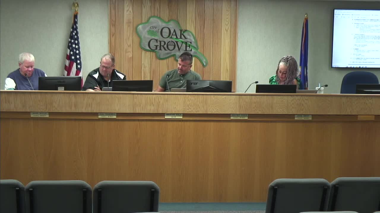
Council deadlocks on Oak Grove subdivision variance, then tables decision for next meeting
Summary
Council members split on a variance request for a Jarvaro Street subdivision redesign after DNR Shoreland feedback altered lot layouts; initial motion to deny produced a 2-2 split and the council subsequently voted to table the matter for two weeks pending additional materials from the applicant.
The Oak Grove City Council took up Resolution 2025-101 on July 14, a request to deny a variance for a proposed subdivision redesign on property in the Jarvaro Street area. The request stems from a developers revised plat that added a short cul-de-sac in the northern corner after Minnesota Department of Natural Resources (DNR) shoreland and ordinary high-water-line analysis changed required building setbacks for several lots.
Applicant Jerry Bauer addressed the council and said the configuration required by DNR setback findings reduced the number of lots he could previously show on the preliminary plat. Bauer and his representatives told the council they had explored connecting the development to a south-side right-of-way in previous designs but that a prior recorded plat created a point-only join that would require acquiring additional right-of-way from neighboring property owners.
Claire Stickler, the consulting planner with MSA, told the council the preliminary plat had shown a 66-foot right-of-way intended to allow future road extension to the adjoining property but the recorded final plat (circa 1989) instead left only a point connection. Because the recorded plat does not provide full right-of-way to the property line, extending a road now would require additional land acquisition from adjacent landowners. Stickler said the DNRs OHW (ordinary high water) determination required a 300-foot building setback for lots in the Shoreland overlay, which in turn changed lot layouts and contributed to the applicants decision to add a short cul-de-sac to maintain lot count.
Council members debated competing considerations: the citys subdivision code includes a block-length standard (transcript reference to "section 107-111 blocks subdivision b") intended to prevent very short blocks or cul-de-sacs because of maintenance and public safety concerns, while the applicant argued the citys prior platting decisions and DNR-mandated setbacks left him with no practical alternative.
Councilmember Wylie moved to deny the variance; Councilmember Tradewell seconded. The roll call on that motion produced two votes in favor of denial and two abstentions, which the city attorney said did not produce a majority vote and left the matter unresolved. After discussion about procedure and the 60-day statutory review period, the council reconsidered and then voted to table the application to the next regular meeting (July 28) to allow the applicant to submit an alternative layout showing whether the lots could be configured to enter from the south after the DNR findings. The applicant confirmed on the record he agreed to a 60-day extension if needed.
Council and staff also heard public safety concerns from a longtime firefighter who said a small cul-de-sac could complicate emergency apparatus access and hauling water to fight a fire.
The item was tabled 4-0 to the July 28 meeting; staff was asked to include the DNR correspondence and any alternative south-entry sketch the applicant can provide so council members and the planning staff can compare layouts.