Get Full Government Meeting Transcripts, Videos, & Alerts Forever!
Get email alerts on the Cliff Drive Vision Zero topic
No spam. Unsubscribe anytime.
Cliff Drive Vision Zero plan advances: 3.1-mile separated bike path proposed, environmental review planned
Summary
City staff presented an updated Cliff Drive Vision Zero design featuring a 3.1-mile separated bike path, new crosswalks and four proposed traffic signals; staff will seek an environmental determination at City Council before moving into final design.
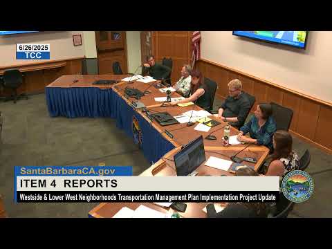
City of Santa Barbara staff gave an update on the Cliff Drive Vision Zero project, presenting revised designs that would convert a portion of Cliff Drive from a high-speed roadway into a neighborhood street with a separated bicycle facility, enhanced crossings and new street trees.
Michelle Bedard (presenter), a staff member with responsibility for the project presentation, described the core features: a 3.1-mile separated bike path stretching from the westerly entrance near Arroyo Burro County Beach Park east to Castillo Street, enhancements to four existing crosswalks and the addition of 14 new high-visibility crosswalks with pedestrian-activated rapid-flashing beacons at non-signalized crossings, and four new traffic signals at key intersections. "This is a high priority of the Vision 0 program," Bedard said.
Why it matters: the corridor change fills the last gap in a 30-mile regional coastal bike route connecting UCSB and Goleta to points north, and it is intended to reduce fatal and serious injury crashes while improving walking and bicycling access along a heavily used coastal corridor.
Key design and project details disclosed in the presentation: - Separated bike path: 3.1 miles of fully separated bike facility, primarily on the south side of Cliff Drive, with sections on both sides through the Mesa shopping and neighborhood stretch to serve destinations. - Crossings and signals: enhancement of four existing crosswalks plus 14 new high-visibility crosswalks; pedestrian-activated rapid flashing beacons at non-signalized crossings; four proposed new traffic signals (including near City College east and west campus entrances and at Camino Cama/Meggs). - Parking and access: staff reported an inventory of 188 existing on-street parking spaces in the corridor; the proposed design would reduce that total to about 142 spaces (a corridor-wide loss of 46 on-street spaces). A parking study staff provided observed peak parking demand (highest observed peak: 131 spaces on a Sunday at noon) and concluded proposed parking would meet observed demand across the corridor. - Trees and landscaping: the project team reported 322 existing street trees within the Cliff Drive corridor. To construct the proposed alignment, staff proposed removing 23 trees and planting about 70 new street trees within new planters; the Parks and Recreation Commission reviewed and approved the tree removals and a recommended planting plan at its recent meeting.
Committee questions focused on parking distribution near the Mesa shopping center and church, the locations where cyclists will need to cross sides of the street (notably near Salida Del Sol and Florida Vista), signal timing and the City College campus crossings. Bedard and staff said the plan preserves parking near commercial areas where possible, has been adjusted in response to stakeholder feedback (including meetings with First Methodist Church and area businesses), and that some crossings will use signals or rapid-flashing beacons to manage crossings safely. Staff said they will check whether right-turn-on-red restrictions are appropriate at certain intersections to reduce conflicts.
Public comment was supportive. Barry Remus of Move Santa Barbara County praised the separation of the bikeway for safety and the addition of shade trees and conflict treatments. Committee members commended the more-complete separation from pedestrians and motor vehicles, and suggested additional measures — more bike parking, clear wayfinding and stronger public outreach — as the project moves into environmental review and final design.
Next steps: staff intends to return to City Council for an environmental determination (the presentation identified a planned Council action in late July, with filing of CEQA documentation to follow). Staff said final design and grant-financing phases are dependent on the environmental determination; the construction target cited in the presentation is 2027, though staff said they are seeking opportunities to accelerate delivery where feasible. The project also includes grant-funded, non-infrastructure education and programming to introduce the facility to school groups and the public once built.
Clarifying details extracted from the presentation include the 3.1-mile length, the proposed net on-street parking counts (188 existing down to 142 proposed with a loss of 46 spaces), 322 existing trees with 23 proposed removals and 70 proposed new street trees, and the project’s expected construction year of 2027 contingent on funding and environmental clearance.