Get Full Government Meeting Transcripts, Videos, & Alerts Forever!
Get email alerts on the Land Use topic
No spam. Unsubscribe anytime.
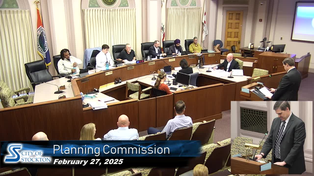
Planning commission approves 93‑home Agave subdivision, allows removal of 10 heritage oaks
Summary
The Stockton City Planning Commission approved the Agave residential development — a 93‑lot subdivision on 13.57 acres at 9473 West Lane — adopting a mitigated negative declaration and conditions to mitigate heritage tree removal and protect a nearby irrigation easement. The approval passed 7‑0.
The Stockton City Planning Commission voted to approve the Agave residential development, adopting a mitigated negative declaration and approving a vesting tentative map, plan development permit, waiver, design review and heritage tree removal for a parcel at 9473 West Lane (APN 08406010).
The decision, made by a 7‑0 roll call, allows Bridal Development’s project to subdivide about 13.57 acres into 93 single‑family residential lots, five common‑area/open‑space lots and private streets, with an internal private roadway connecting to Ronald McNair Way.
City senior planner Scott (staff) presented the item and said the project occupies one vacant parcel bounded to the north by Ronald McNair High School and to the south by an established single‑family neighborhood. He told the commission that the project’s net density is 7.2 dwelling units per acre and its gross density is 6.885 dwelling units per acre; the site’s general plan and zoning designate it for low‑density residential uses. Scott also summarized site improvements including private streets, curbs, gutters, sidewalks, landscaping and street lighting and said each home would have two enclosed garage spaces.
The project includes four floor plans and 12 color/material schemes. Scott said the homes are estimated to range roughly between 1,771 and 2,170 square feet across the four plans and that the development provides 24% open space (about 2.74 acres), exceeding the 20% requirement for planned developments.
Scott said a mitigated negative declaration was prepared pursuant to the California Environmental Quality Act and that the Development Review Committee recommended approval. He also noted changes in a bench memo issued the morning of the hearing that clarify heritage oak mitigation and add conditions related to an irrigation easement.
Heritage trees and irrigation easement. The project originally reported 48 heritage trees on site; after a recent field survey the applicant determined that about 10 heritage oaks would need to be removed, not the 38 cited in earlier staff materials. Under the municipal code those removals trigger mitigation. Scott said the required replacement ratio is 3:1, which would require the project to provide 30 replacement heritage oak trees; the applicant and the homeowner association’s landscape plan will supply far more trees overall (the HOA‑maintained front yards will provide 123 trees), a point staff cited as satisfying mitigation requirements.
A separate issue addressed at the continued hearing was a Woodbridge Irrigation District (WID) pipeline and easement located near the southern property boundary. Scott described an on‑site survey and a subsequent meeting with WID and the applicant; staff said the pipeline lies south of the property line and that the easement sits between the fence and the property line. New conditions of approval added in the bench memo (conditions 20 through 23) impose restrictions on activities within 20 feet of the pipe, require repair obligations if the pipe is damaged, require the easement to be shown on the tentative map prior to final map approval, and preserve WID access to the easement in the future.
Applicant comments and public questions. Dave Butts of Bridal Development, the applicant, told the commission the meetings with WID and staff “worked everything out” and that the outcome reduced the number of trees to be removed: “We’re gonna have less trees removed, and…it’s gonna work out for the best for everybody.” During public questions, a nearby resident asked whether a median was proposed on Maronta Lane (the street adjacent to Ronald McNair High School); the applicant said no median was proposed and that the project would complete the frontage. When asked about likely sale prices, the applicant said, “Oh, they're probably gonna be in the 400 to $5.50 range, something like that.”
Motion and vote. Commissioner Gurney moved to adopt “a resolution adopting a mitigating negative declaration for the Agave residential development project and a resolution approving a vesting tentative map, plan development, waiver, design review, and heritage tree removal, subject to conditions,” confirming that the motion reflected the redline changes in the bench memo. The commission’s roll call recorded the motion passing 7‑0.
Next steps. Staff indicated the tentative map will include the surveyed pipeline location and the recorded easement prior to final signature approval, per the added condition. The applicant said that if approvals are obtained “tonight” they would proceed with engineering and final mapping and that, depending on soils and scheduling, ground‑breaking could occur about a year from now (the applicant estimated roughly “2026-ish”), subject to the city’s final map approvals and market conditions.
Community and project context. The site is adjacent to Ronald McNair High School and an established neighborhood; the commission and members of the public asked about traffic and school‑frontage safety. The record shows no agency or public letter oppositions were received during the CEQA public review period as reported by staff.