Get Full Government Meeting Transcripts, Videos, & Alerts Forever!
Get email alerts on the Parcel Map Harris 0006 24 topic
No spam. Unsubscribe anytime.
Commission approves parcel split at 942 S. Harris — church remains on larger parcel, duplex on smaller
Summary
The Planning Commission on Feb. 25 approved Tentative Parcel Map No. 0006-24 to divide a 3.94-acre property at 942 South Harris Street into a 3.68-acre parcel for an existing church and a 0.26-acre parcel for an existing duplex; staff said the split creates no new nonconforming zoning issues.
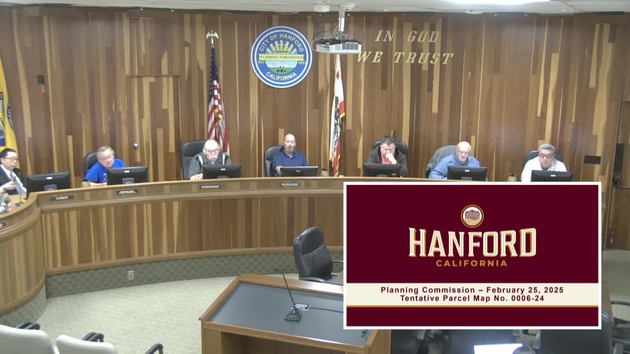
The Hanford City Planning Commission on Feb. 25 voted to approve Tentative Parcel Map No. 0006-24, dividing a 3.94-acre property at 942 South Harris Street into two parcels in the Corridor Mixed Use (MxC) zone. Staff reported the larger parcel (3.68 acres) will contain an existing church and the smaller parcel (0.26 acres) will contain an existing duplex; no new development is proposed with the division.
Staff advised that, because a block wall had not been required when the site was previously developed, the existing chain-link fence between the corridor mixed-use property and adjacent public facilities zoning remains a legally existing nonconforming condition and that the proposed division will not create new nonconformities. Any future development on either parcel must meet current MxC standards at the time of permit review.
The parcel map is categorically exempt from CEQA under the minor land-division exemption, and staff recommended the commission adopt Resolution No. 2025-12 approving Tentative Parcel Map No. 0006-24. There were no members of the public who spoke in favor or opposition. The commission adopted the resolution and closed the hearing.
Speakers and officials who addressed the item are listed below.