Get Full Government Meeting Transcripts, Videos, & Alerts Forever!
Get email alerts on the Watershed Flooding topic
No spam. Unsubscribe anytime.
Engineers: Park Fire burn scar magnified creek flows; city and county eye sediment work
Summary
Public Works engineers told the Parks Commission that the 2024 Park Fire scar increased runoff across the Big Chico Creek watershed, producing creek flows far above pre-fire forecasts and prompting renewed focus on sediment removal and additional stream gauges.
City of Chico Public Works engineers presented data on March 3 showing that the July 2024 Park Fire burn scar in the Big Chico Creek watershed magnified runoff during winter storms, producing flow peaks well above pre-fire expectations.
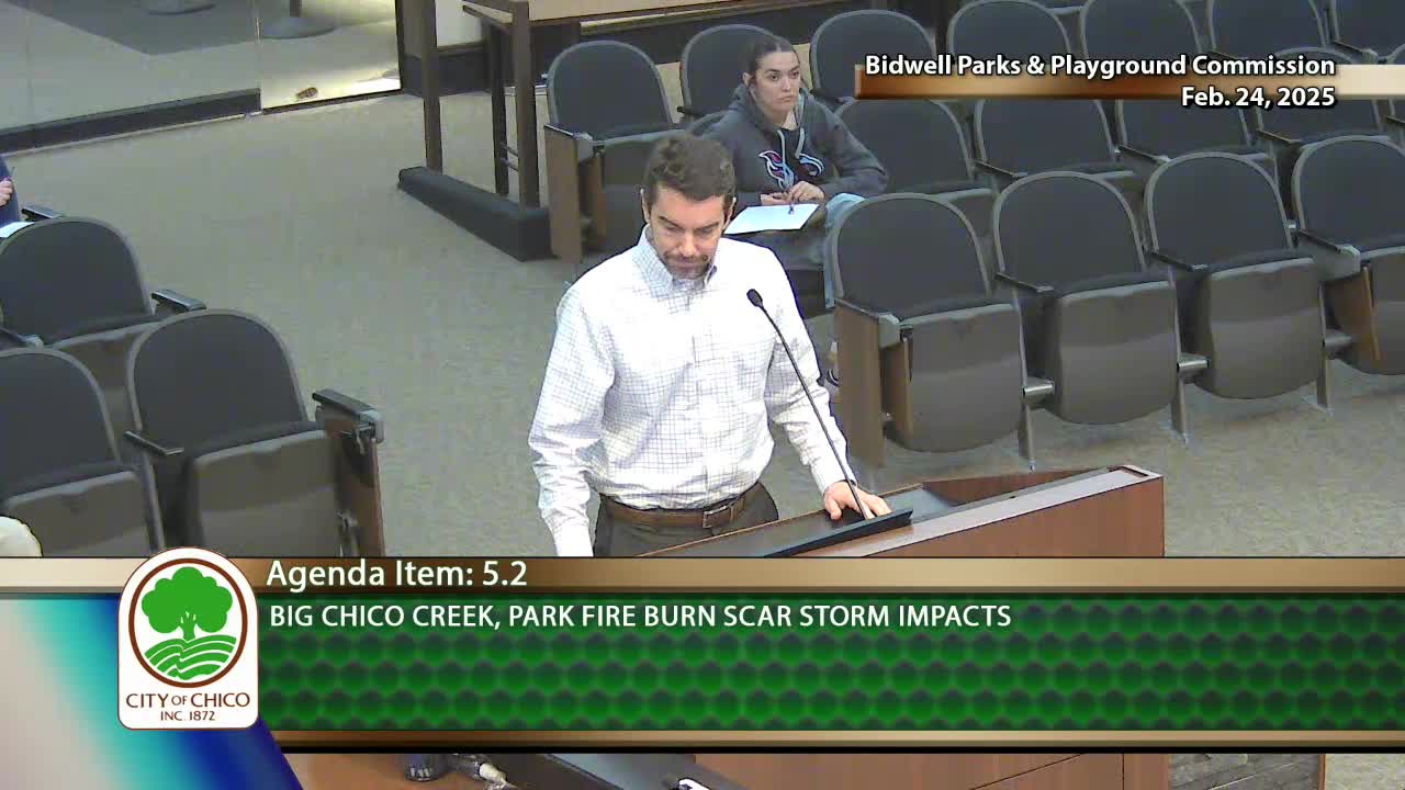
“The burn scar will magnify runoff from a rain event,” David Keane, Public Works Engineering Department, told the Parks, Well and Playground Commission. Keane and staff summarized state and federal modeling, local gauge records and aerial observations that together showed measured peak flows that exceeded standard design assumptions for the diversion system that protects Chico.
Keane described how the watershed funnels to the Five-Mile diversion, a U.S. Army Corps of Engineers project maintained locally by Butte County. Design capacities cited in the presentation were about 1,500 cubic feet per second (cfs) for flows routed down Big Chico Creek and 6,000 cfs for Lindo Channel, with the remainder routed through the Sycamore Bypass. After the fires, California emergency watershed analysis (the WERT report produced by CAL FIRE and the Department of Conservation) found typical post-fire “flow multipliers” of roughly 1.7–1.8, meaning runoff after a given storm can be about 70–80% higher than before the fire.
Keane said the city observed that a November storm forecast as a 2-year 24-hour event produced roughly a 10-year flow at the Big Chico Creek gauge, and a February atmospheric-river event produced flows the team described as in the 5- to 50-year range. Measured peaks cited in the presentation included roughly 7,147 cfs during one November peak and about 10,500 cfs during the February event. The higher-than-expected peaks, Keane said, were due in part to back-to-back storms and to the burn scar effects not fully captured in some forecasts.
The presentation stressed two operational complications: heavy loads of ash and woody debris arriving in channels, and significant sediment accumulation behind the Five-Mile diversion structure. Keane said those deposits alter how water behaves compared with the original design drawings and make real-time gate operation more difficult during storms because debris can jam gates. He said Butte County, as the local maintaining agency, opened gates broadly during the storms to manage systemwide flood risk and that the county is scoping a sediment-removal project.
Public Works and city staff called for more and better hydrologic data. Keane noted limited rain gauges in the upper watershed and recommended additional stream gauging at Big Chico Creek; Butte County and the Vineland Groundwater Sustainability Agency are pursuing a gauge project, he said. Staff also said updated modeling will be needed after any sediment removal to quantify actual flows and refine operational decisions.
Commissioners and staff asked questions about historical fire frequency, the potential for channel migration, and how channel vegetation and sediment affect overbanking and private properties. Keane and other staff said vegetation regrowth should reduce the multiplier effect over several years and that event-driven assessments by the Department of Water Resources and other agencies will be used to decide any maintenance triggers.
Keane concluded that the WERT modeling proved useful and that interagency coordination with the National Weather Service, Department of Water Resources, Butte County and federal partners was critical to improving forecasts and operational responses.
The commission did not take formal action on the presentation; staff said the information would inform future work with county and state partners on sediment removal, improved gauges and revised modeling to guide flood operations.