Get Full Government Meeting Transcripts, Videos, & Alerts Forever!
Get email alerts on the Subdivision Plat topic
No spam. Unsubscribe anytime.
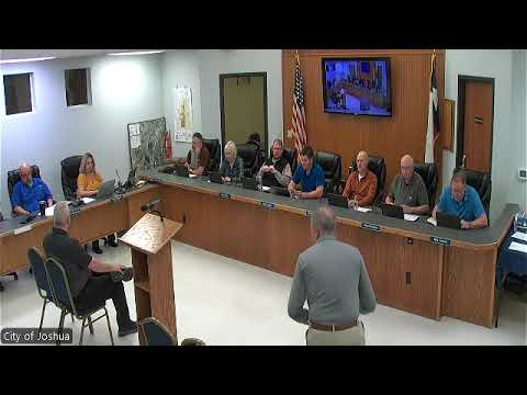
Planning commission conditionally approves final plat for Joshua Meadows Phase 4
Summary
The City of Joshua Planning and Zoning Commission granted contingent approval for the final plat of Joshua Meadows edition Phase 4, a 52.051-acre subdivision that will create 43 residential lots, one open-space lot and a city park, pending city engineer sign-off on an outfall redesign.
The Planning and Zoning Commission for the City of Joshua on Monday evening conditionally approved the final plat for Joshua Meadows edition Phase 4, a 52.051-acre subdivision that will create 43 residential lots, one open-space lot and a city park.
Commissioners approved the plat on a voice vote after staff recommended contingent approval pending the City of Joshua city engineer's sign-off of an outfall redesign for the city park, the commission was told.
The plat covers land described in the McKinney Williams survey, abstract no. 636, and the W.H. Miller survey, abstract no. 603, at 1113 County Road 705 in Johnson County. Planning staff said the property has been in a planned development (PD) district for residential use since February 2007 and that the preliminary plat for Phase 4 was approved by the commission on Sept. 3, 2024. The final plat was reviewed under the City of Joshua subdivision ordinance, staff said.
City staff described the phase as the final phase of a multi-phase development. The plan presented to the commission shows 43 residential lots, one open-space lot and one city park. Staff recommended contingent approval “pending the city engineer’s approval of the outfall redesign of the city park.”
Commissioners asked several questions about a nearby former well-pad site on the park side. Aaron, city staff, said the well pad is “actually capped.” A staff member who identified the difference between the two processes told the commission, “Plugging means it's done. Cap means that it can be reused at some point.” Later in the discussion staff said the developer's current arrangement is to plug the well and that the land parcel will be dedicated to the city.
Commissioners also asked about access and construction staging. Staff said access to the park will come from the adjacent street and will not traverse the parkland. Construction ingress for the phase is expected primarily from the south side, with some use of the county road; staff estimated site work would begin in “a few months,” but said specific contracting and sequencing details were not yet finalized.
The commission also approved the meeting minutes from Jan. 6, 2025, by voice vote. Both the minutes approval and the final plat approval were recorded as motions, each followed by a second and a voice vote; roll-call tallies were not provided in the transcript.
Next steps identified by staff include final engineering sign-off on the outfall redesign and standard administrative steps to record the plat and implement the development once contingencies are resolved.