Get Full Government Meeting Transcripts, Videos, & Alerts Forever!
Get email alerts on the Rezoning topic
No spam. Unsubscribe anytime.
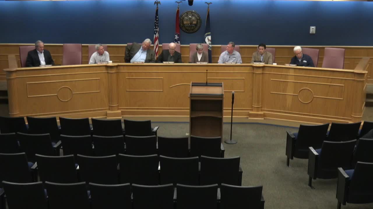
Planning commission backs rezoning, forwards revised Rosebrook South OSRD plan after discovery of historic cemetery
Summary
The Brentwood Planning Commission voted to forward an ordinance rezoning 0.41 acres in Rosebrook South from OSRD to R2 and to recommend approval of a revised OSRD development plan that reflects that change, an increased right-of-way dedication for Split Log Road and the identification of the Orton Cemetery on the site.
The Brentwood Planning Commission voted Feb. 10 to forward a recommendation that the Board of Commissioners approve Ordinance 2025-03, a rezoning of 0.41 acres in the Rosebrook South subdivision from Open Space Residential Development (OSRD) to R2 residential zoning, and to recommend approval of a revised OSRD development plan that incorporates that rezoning and several other plan changes.
The rezoning area lies at the rear of proposed lots 125–127, which front Split Log Road. City planning staff said the 0.41-acre parcel was originally thought to be wetland and included in the project’s OSRD open space, but a subsequent determination reduced the wetland area and made the land available to add building envelope area to the affected lots while helping keep those lots at the project’s two-acre minimum after an additional right-of-way dedication for Split Log Road.
Planning staff told the commission the applicant, Reagan Smith and Associates, will submit a revised OSRD development plan to the planning commission for preliminary review; the planning commission’s recommendation will go to the Board of Commissioners as a resolution at its Feb. 24, 2025 meeting. The planning commission’s public hearing on the ordinance was scheduled for Feb. 10, with second reading and final action by the Board of Commissioners later in February, according to staff.
The revised OSRD plan (BPC 25-01-008) includes the rezoned 0.41 acres and several additional changes: the project area was reduced from 69.69 acres to 69.28 acres to reflect the rezoning; the Split Log Road right-of-way dedication increased from 0.47 acres to 0.82 acres based on a refined determination of necessary widening; excess open space declined from 16.6 acres to 16.08 acres; Southwick Drive was realigned and a cul-de-sac added near proposed Lots 143 and 145; the Sedano house originally intended for preservation on Lot 160 has been demolished; and the plan notes a small historic cemetery identified on the site.
Commissioners asked several follow-up questions about the cemetery and open-space requirements. Applicant representatives said the cemetery would be preserved and fenced with access provided, and that more detail would be provided with the preliminary plan submittal. Planning staff said the subdivision still meets the OSRD core requirement and that the number of lots in the project remains unchanged.
Commissioners moved and seconded to forward the rezoning ordinance recommendation to the Board of Commissioners and to forward a recommendation of approval for the revised OSRD development plan, both motions carried with commissioners voting “aye;” individual roll-call votes were not read into the record.
Staff and the applicant identified the cemetery as the Orton Cemetery, about 0.04 acres in size, and said an archaeological report on the site exists. The applicant and staff said the historic commission had been notified and had visited the site in recent days.
The planning commission’s recommendation does not itself change zoning or the binding OSRD plan; final legislative action rests with the Board of Commissioners and subsequent approvals will be required if the Board adopts the ordinance and the revised plan.
Clarifying details from the hearing include the right-of-way change (0.47 acres to 0.82 acres), the reduction in total project area (69.69 to 69.28 acres), the reduction in excess open space (16.6 to 16.08 acres), the cemetery area (0.04 acres), and the applicant’s statement that the number of lots remains the same and the Sedano house has been demolished.
The planning commission recorded its recommendation to forward both the ordinance and the revised OSRD development plan to the Board of Commissioners; the applicant will present additional details with the preliminary plan at a later planning commission meeting.