Get Full Government Meeting Transcripts, Videos, & Alerts Forever!
Get email alerts on the Land Use Zoning topic
No spam. Unsubscribe anytime.
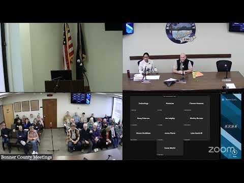
Bonner County commissioners split then affirm digital zoning map for disputed parcel
Summary
The Bonner County Board of Commissioners declined a request to reinterpret a split zoning designation as entirely recreation, instead voting to leave the parcel’s zoning as shown on the county's digital map (Recreation and Ag Forest 10), citing an upcoming comprehensive-plan and zoning-map update to resolve mapping discrepancies.
Jake Gabel, Bonner County planning director, told the Board of County Commissioners that a landowner had asked the board to interpret the county zoning map under BCRC 12-3-15(H) because the parcel appears to be split between Recreation and Ag Forest 10 on the county's digital zoning layer. Gabel said no formal land-division application was pending and that the county is working on aligning the comprehensive plan map and the official zoning map with parcel lines in a future update.
During public comment, Dave Bowman, a Bonner County resident who reviewed older paper maps, said the split on the digital map appears to be an error in the county GIS and urged the board to review historic records. "It's clearly a mistake in the GIS," Bowman said.
Commissioners debated two possible actions: one motion would interpret the zoning boundary so the parcel is entirely Recreation; another would leave the zoning as shown on the official digital map (Recreation and Ag Forest 10). Commissioner Bradshaw moved to interpret the parcel as entirely zoned Recreation; that motion failed. The board then voted to interpret the zoning boundary to remain as shown on the official zone map (Recreation and Ag Forest 10), a motion that passed on roll call.
Members discussed why the board should be cautious before issuing an interpretation now. Planning staff and several commissioners said the county is undertaking updates to the comprehensive plan and a corrected zoning map that would align zoning with property lines; adopting an interpretation now could conflict with the upcoming countywide ordinance updates and trigger statutory limitations on map amendments. "It takes time because we're looking at the whole county, not individual properties," Gabel said, noting staff are working to align the comprehensive plan designation with property lines.
County attorney Bill Wilson cautioned that the code gives the board latitude to interpret the map when requested; he also advised care about simply tabling requests because an interpretation or a denial can affect a property owner's options and potential legal challenges.
The board adopted the interpretation that the parcel remain zoned as shown on the official digital zone map (Recreation and Ag Forest 10). Commissioners said mapping discrepancies will be addressed in the broader comprehensive-plan and zoning-map update.
The matter drew public interest because the parcel owner indicated intent to consider a land division in the future; planning staff emphasized that a formal land-division application was not pending and would be considered under the governing zone if and when submitted.
The board did not adopt any immediate ordinance or map amendment; staff said the county will correct mapping discrepancies as part of the scheduled plan/map update and advised property owners that the update process is the appropriate venue for permanent changes.