Get Full Government Meeting Transcripts, Videos, & Alerts Forever!
Get email alerts on the Flood Mapping And Planning topic
No spam. Unsubscribe anytime.
Waynesville staff: state FEMA floodplain remapping under way; town will await preliminary maps
Summary
Town staff told the Waynesville Town Council on Jan. 28 that state and FEMA floodplain remapping for Haywood County — including the Hazel/Hazelwood area — is already in progress and preliminary maps are expected by the end of 2025; staff recommended the town not duplicate the state’s work with its own contract.
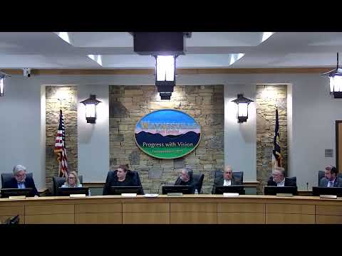
At the Town of Waynesville’s Jan. 28 meeting, town staff updated the council on efforts to revise FEMA floodplain maps for the Hazel/Hazelwood area and wider Haywood County.
Elizabeth (staff) said the state’s floodplain mapping program is already conducting studies in Haywood County as part of a French Broad River Basin update. She quoted the state national floodplain insurance coordinator as saying the program is in the “second round of engineering modeling for the quality control of those efforts” and that preliminary maps for Buncombe, Haywood, Henderson, Madison and Transylvania counties are expected by the end of the calendar year 2025.
Elizabeth told the council the state’s work ‘‘does not reflect any changes resulting from that event’’ (referring to the storm identified in the coordinator’s message) but that the mapping program will collect post‑storm lidar and ground verification data and process that information before delivering revised studies. She also outlined the federal process: FEMA’s risk map work requires regulatory due process including a 90‑day appeal/comment period, public information, and published notices in the Federal Register.
Staff advised the council that a local contract to produce separate flood studies would likely duplicate state efforts and require approvals; they recommended using the state’s mapping deliverables and noted property owners retain the option to pursue a Letter of Map Revision (LOMR) or Letter of Map Amendment (LOMA) for individual parcels.
Councilmembers asked for clarification about geographic coverage; staff confirmed preliminary maps being developed by the state will include the Town of Waynesville. No formal action or vote on contracting for separate mapping was recorded; staff recommended the town “hold” pending the state’s preliminary deliverables and follow the state/FEMA public process when maps are released.