Get Full Government Meeting Transcripts, Videos, & Alerts Forever!
Get email alerts on the General Plan Land Use Map topic
No spam. Unsubscribe anytime.
Council reviews land‑use map edits; discusses commercial corridor and hospital area designations
Summary
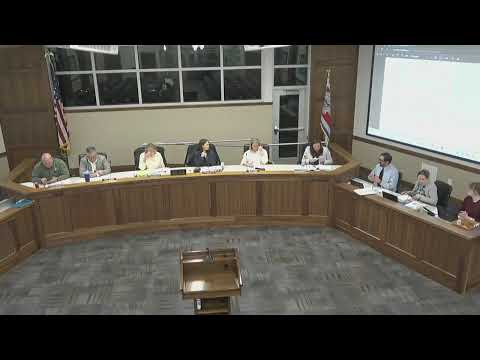
During the Jan. 28 work session Bountiful City Council reviewed draft place‑type boundaries for the general plan, flagged mapping omissions and discussed a separate zoning designation for the hospital area to protect future hospital expansion.
Bountiful City Council members on Jan. 28 reviewed draft land‑use map place types in the citywide general plan update and provided staff direction on several map boundaries and clarifications.
Staff led the council through several place types used to implement the general plan, emphasizing that the land‑use map—not the zoning map—guides future code changes. Diane Morgan (planning staff, filling in for Amber Corbridge) and Francisco displayed the draft boundaries and noted a probable mapping omission that excluded the UPS Store and Annie’s Cafe from downtown commercial place type; councilmembers directed staff to restore those properties to the downtown designation.
Council members also discussed the corridor along 500 South (community commercial). Several council members observed that much of the block between 100 East and 400 East is currently residential or professional office and not presently developed as commercial. Staff proposed that the area be reclassified to support a longer‑term commercial corridor and recommended a distinct subdesignation for the South Davis Community Hospital area so hospital‑related uses and future expansion would not be hindered by adjacent development standards.
On the hospital area, staff said the general plan should explicitly protect hospital expansion by delineating a hospital‑focused zoning designation (or multiple zoning categories within the broader place type) and noted higher building heights may be appropriate around the hospital parcel to accommodate medical facilities. Councilmembers generally supported further refinement of the map and asked staff to return with clarified boundaries (for example, the staff discussion mentioned placing a boundary at 400 East/500 South to separate hospital area from other community commercial uses).
No formal land‑use changes were adopted at the work session; staff will update the map and related place‑type descriptions and return to the council for additional review and public‑input steps.