Get Full Government Meeting Transcripts, Videos, & Alerts Forever!
Get email alerts on the Rezoning Subdivision topic
No spam. Unsubscribe anytime.
Developer seeks rezoning, 12‑lot subdivision on John McCain Road; emergency access and cul‑de‑sac limits flagged
Summary
A rezoning and subdivision proposal for properties at 7316 and 116 John McCain Road would create 12 lots and shift zoning from agricultural to R‑30 and R‑40. Staff told the meeting the plan raises a potential conflict in Colleyville land development requirements on cul‑de‑sac lot counts and secondary emergency access.
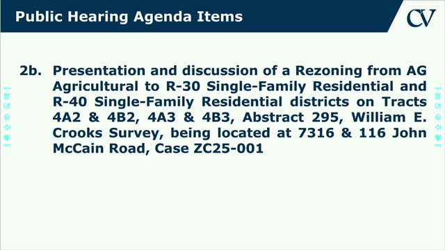
A rezoning and preliminary plat proposal for three parcels at 7316 and 116 John McCain Road would change the properties from agricultural zoning to a mix of R‑30 and R‑40 and create 12 lots, city staff told the meeting on Jan. 27, 2025.
The proposal shows the top seven lots as R‑30 and the lower five as R‑40, with submitted exhibits for drainage, utilities and tree preservation, staff said. The applicant told staff the intent is to subdivide under those residential districts and to provide required utilities and drainage improvements.
The principal issue raised in the discussion was access: under Colleyville land development code, a cul‑de‑sac generally is limited to 10 lots unless a secondary access is provided, staff said. The applicant has proposed an emergency‑access easement that would extend down to John McCain Road, but staff cautioned the easement would cross private property, could be a long run to the main road, and may not be acceptable to adjacent owners.
Staff also noted an apparent inconsistency between two code sections: one that limits cul‑de‑sac lot counts (10 lots) and another provision that requires a secondary access only when there are more than 12 lots. The land development code language at issue was adopted in 2000, staff said; the meeting record shows a comparison was made to the fire code, which sets a higher threshold (staff quoted an uncertain figure of "either 25 or 35" from memory). Staff said they will include the specific citations in the staff report so the commission can evaluate the conflict.
Other technical materials submitted by the applicant include proposed drainage plans, a utility plan and a tree preservation plan. Staff confirmed that some trees shown in red on the plan are proposed for removal and that other trees shown in yellow may be removed depending on utility placement. The emergency access as proposed would be for emergency vehicles only and, if implemented, would likely require gate installation and routine inspections by the fire department.
Staff said notices to surrounding property owners were mailed on Friday and that staff expect to receive responses from adjacent owners. Commissioners asked staff to pull parcel data from the appraisal district for the commission packet so members can see lot sizes, houses and construction dates of adjoining properties.
No formal action or vote on the rezoning or plat was recorded in the transcript. Staff said they will place code citations and the additional appraisal‑district information in the staff report for the commission to consider at a future meeting; the record shows the item remains under review.
The proposal raises public‑safety and neighbor‑notification questions the commission asked staff to clarify before making a recommendation: whether the emergency access easement can be secured across private properties, whether the easement design and gate maintenance are acceptable to the fire department, and which code section controls the lot limit for cul‑de‑sac situations.